Description
2nd Edition
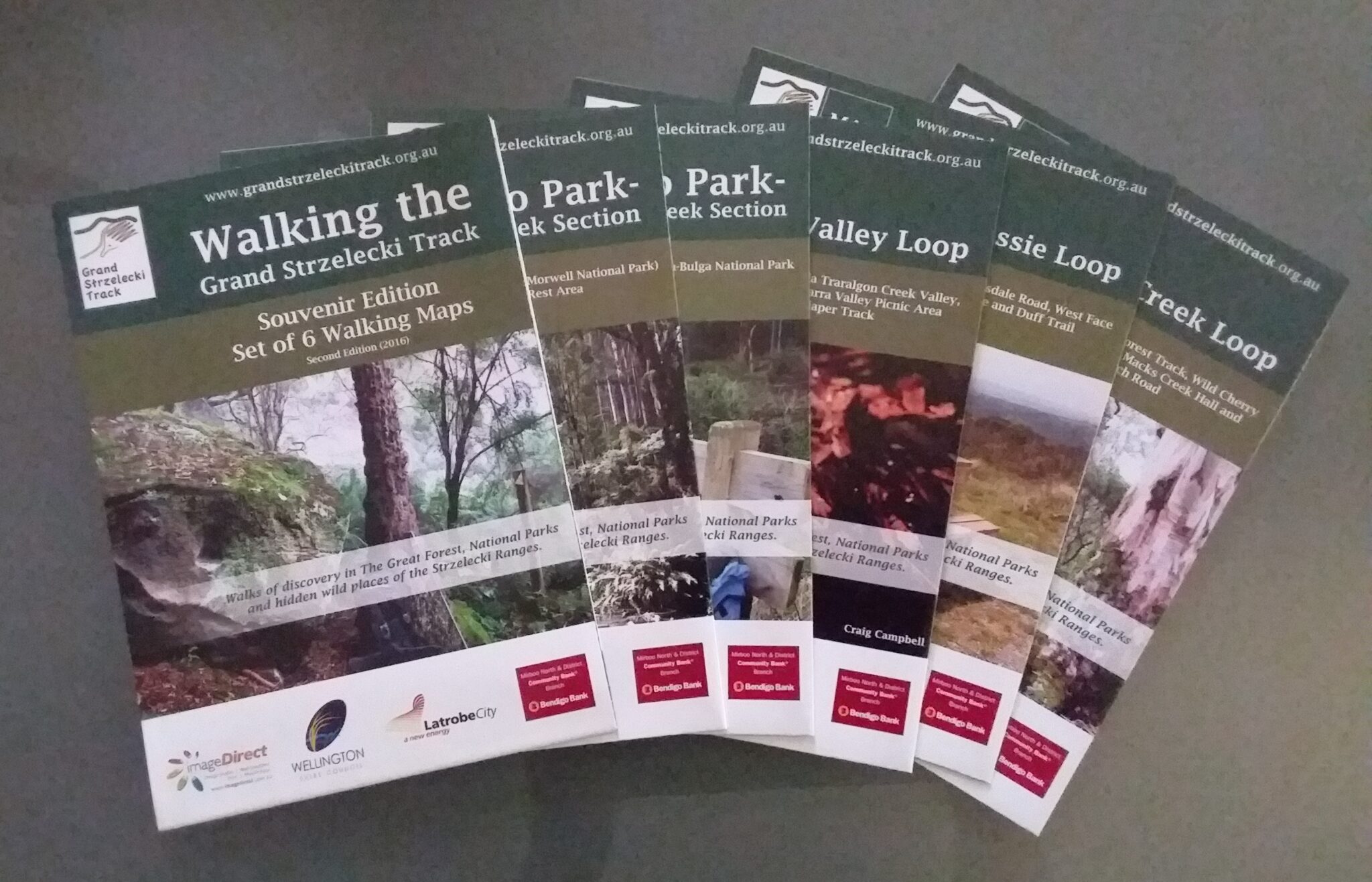
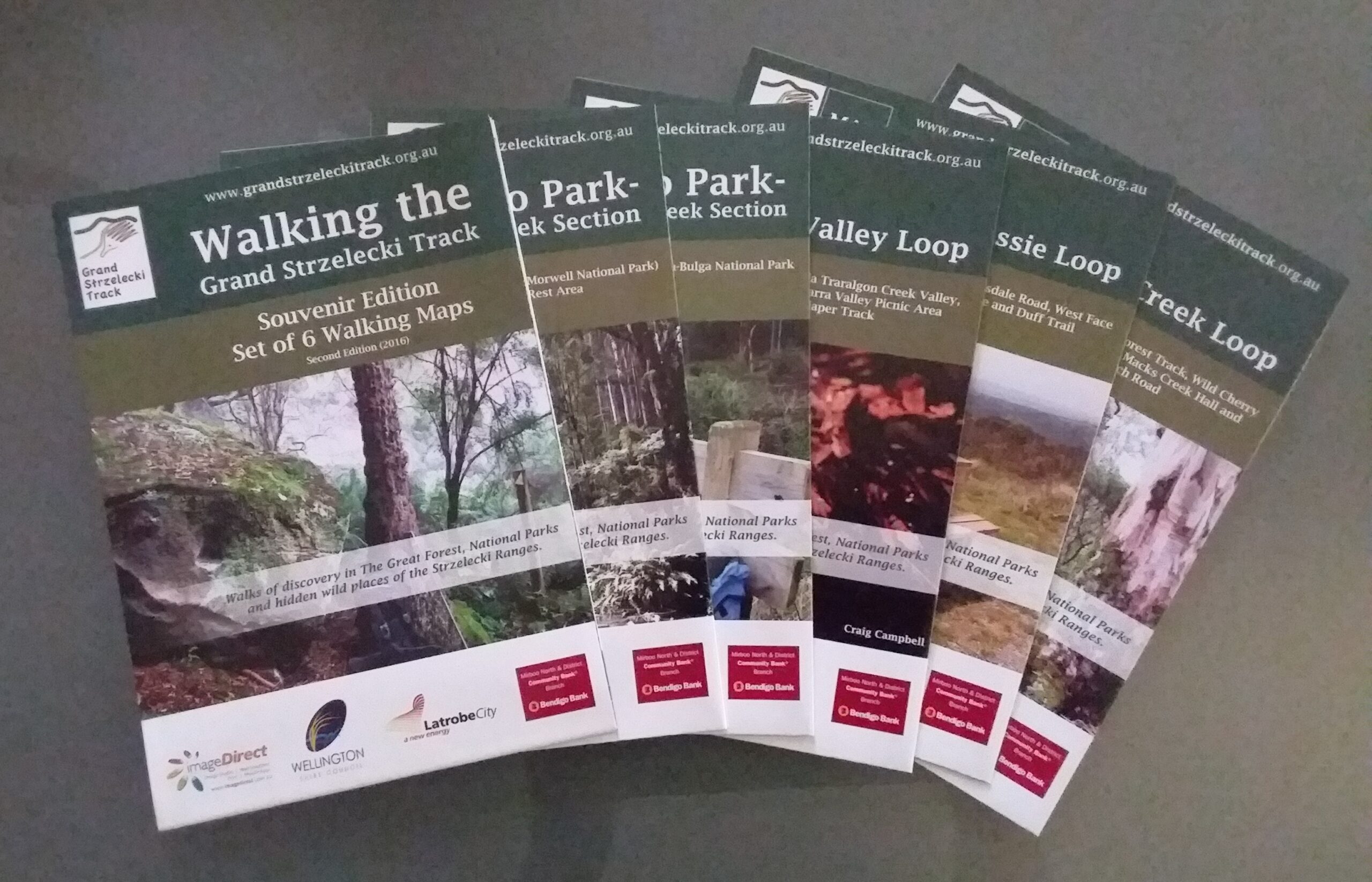
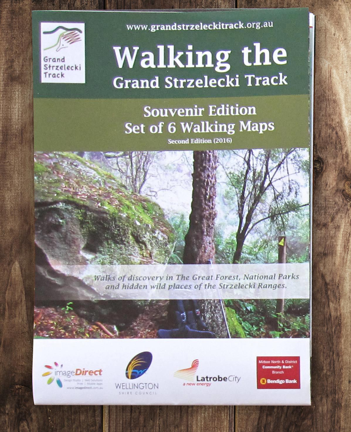
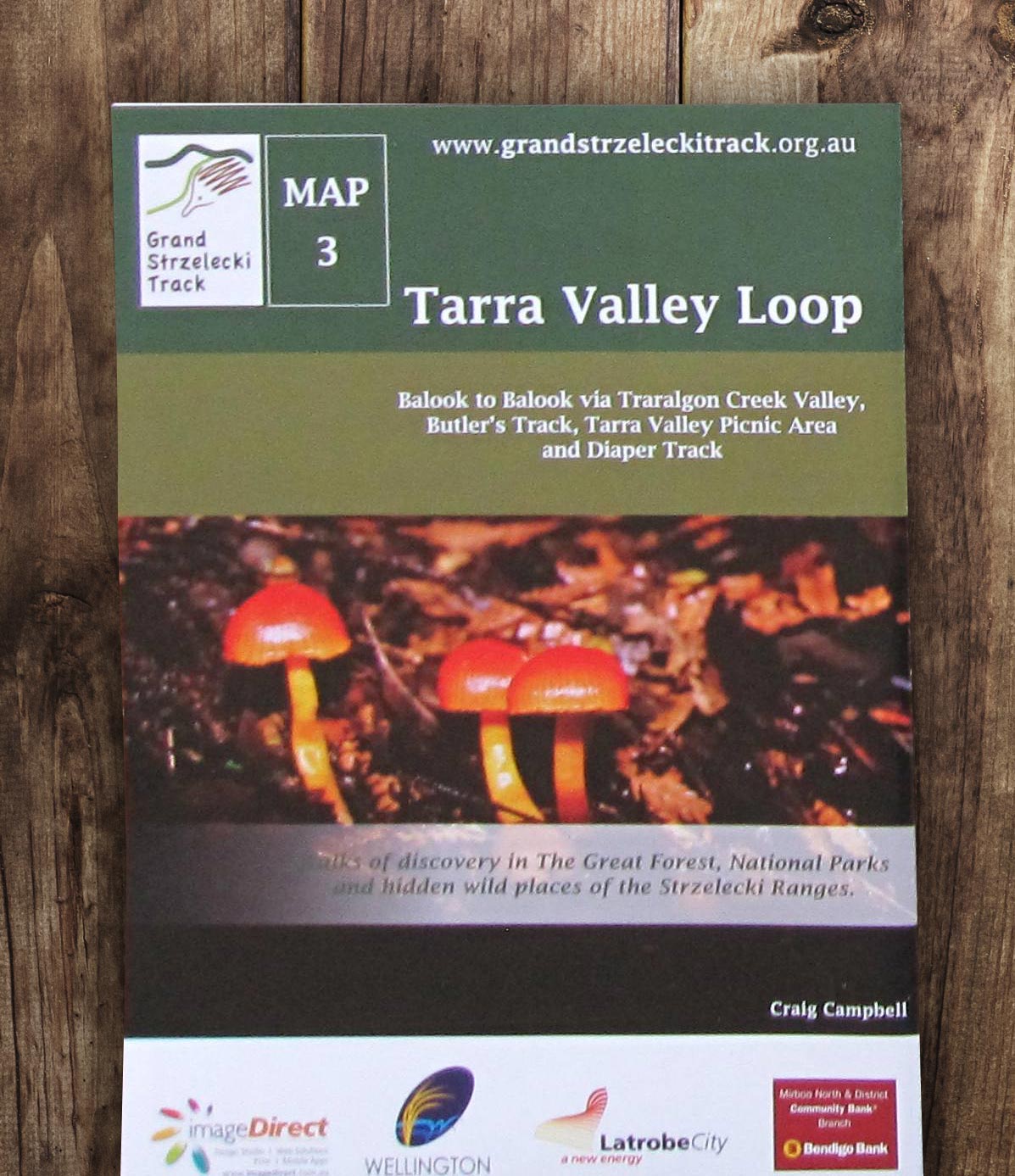
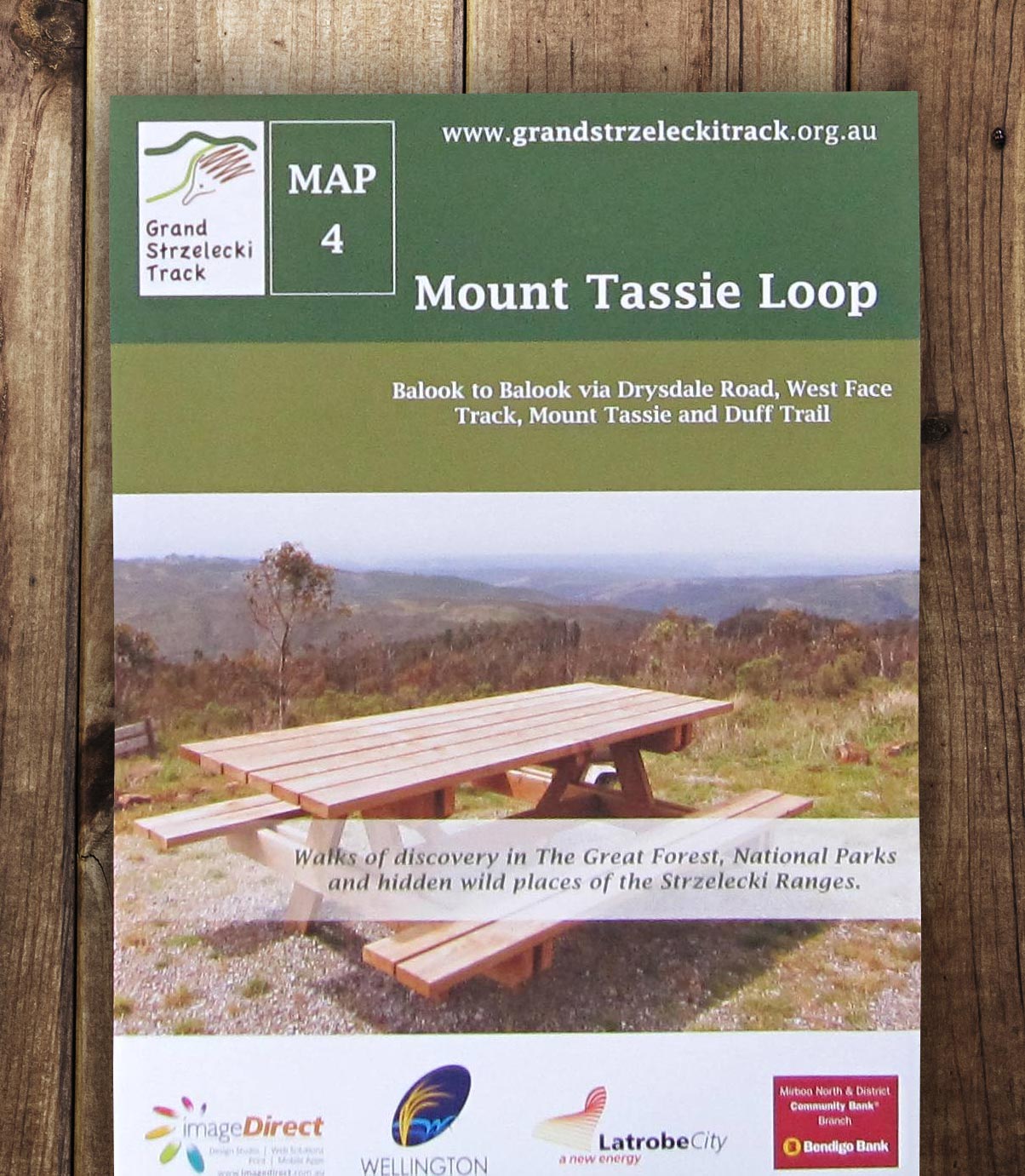
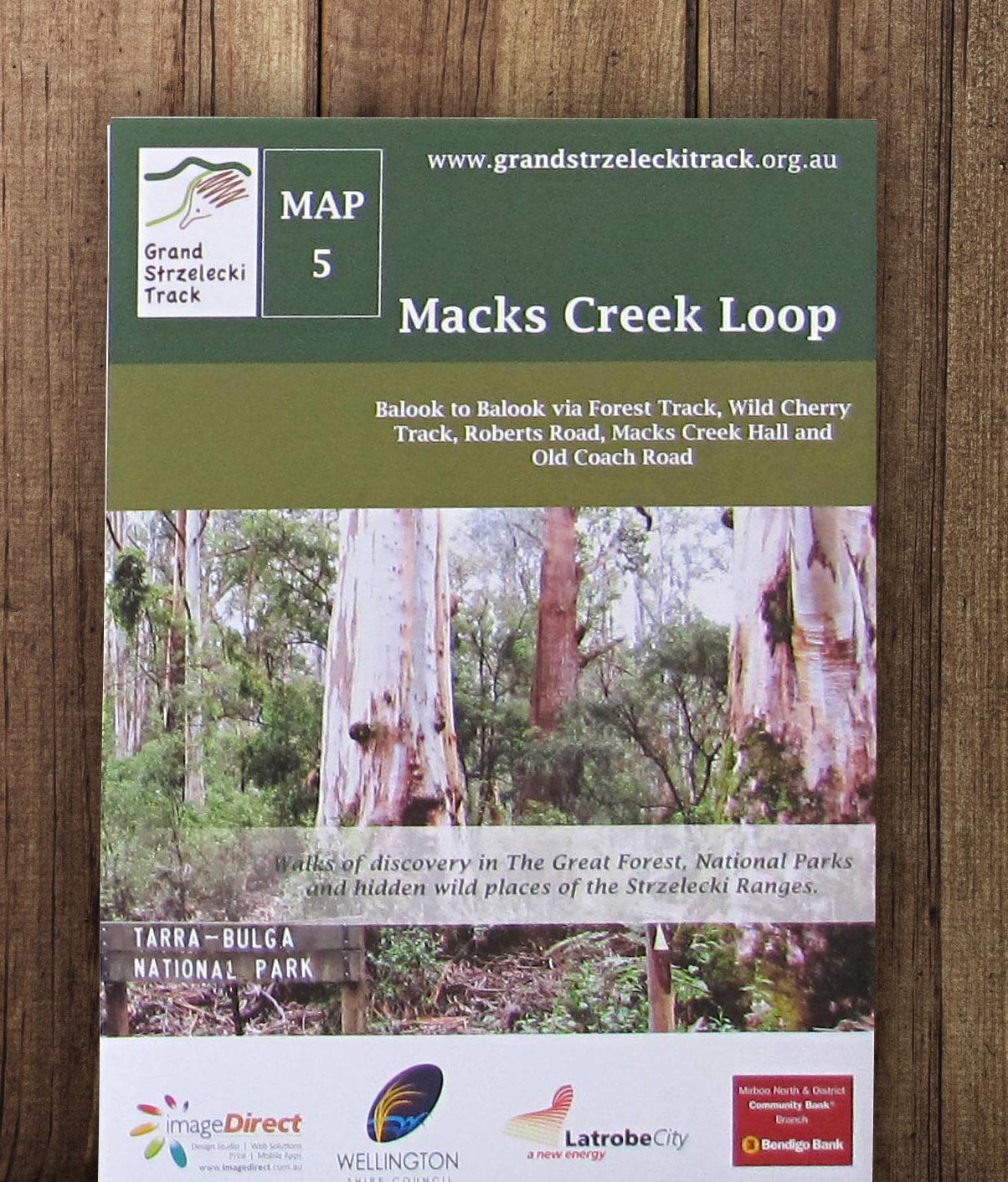
HIKING MAPS: Set of 6 printed maps consisting of the Planning Map and five topographic maps covering all sections of the Track.
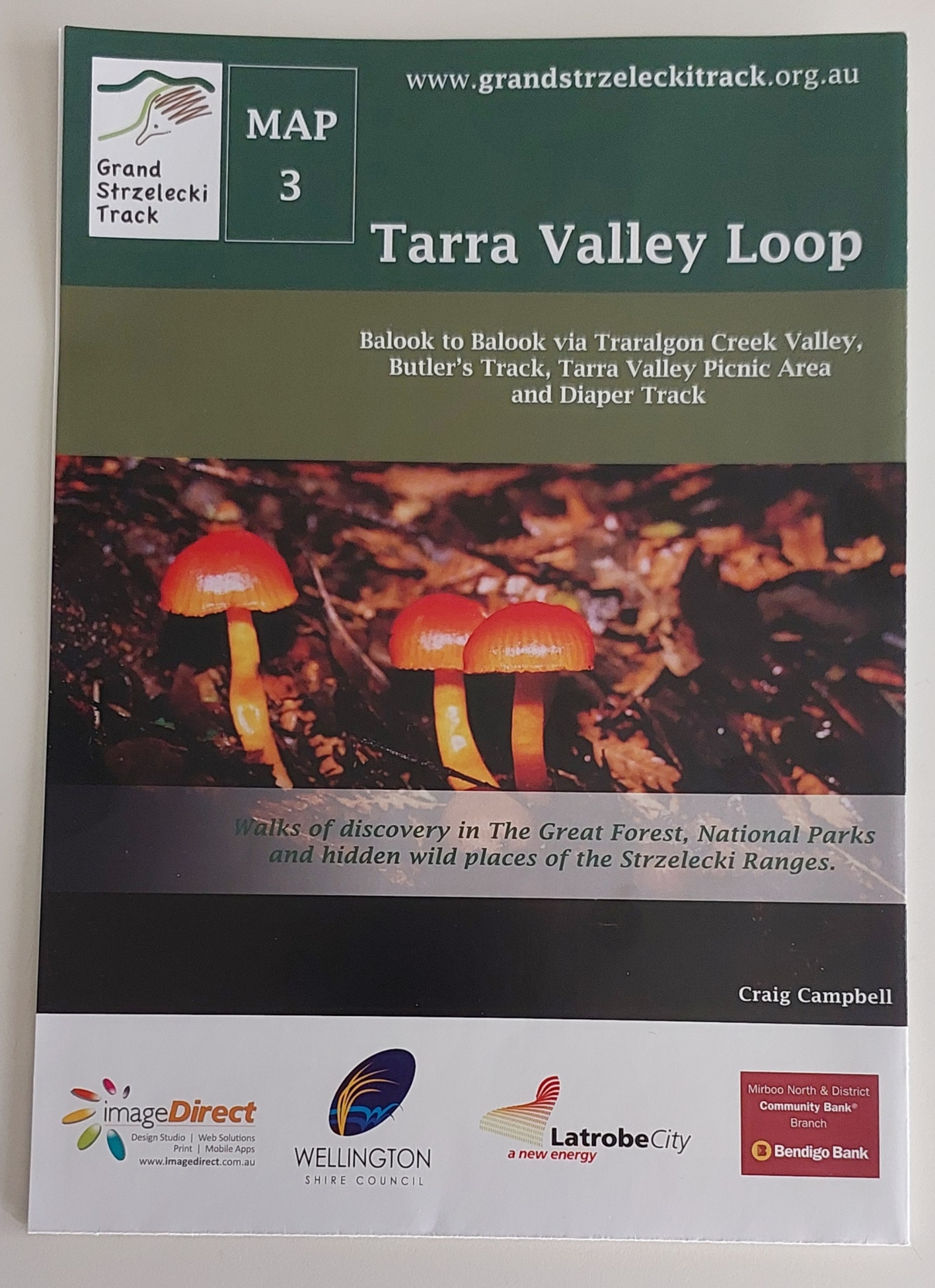
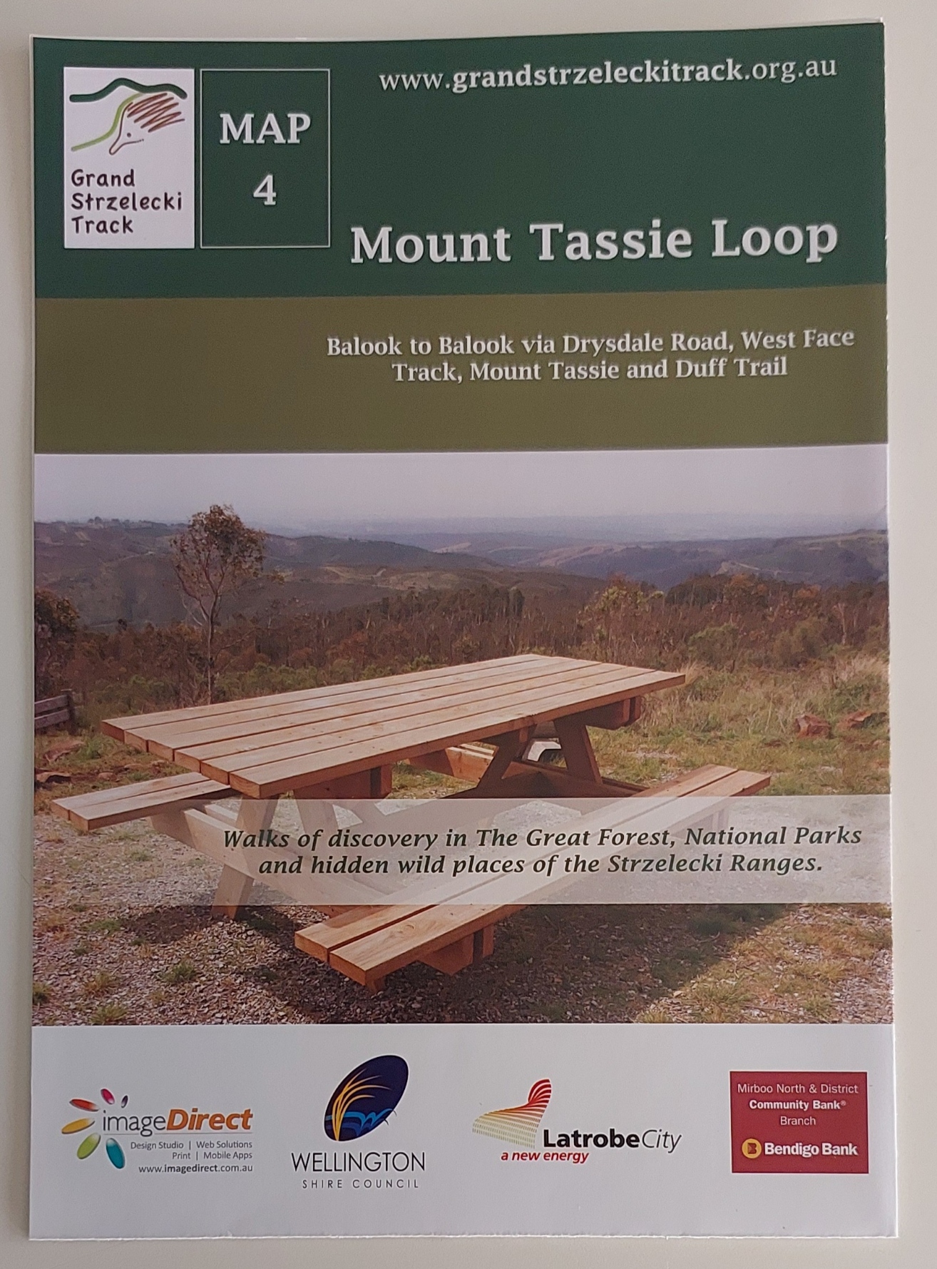
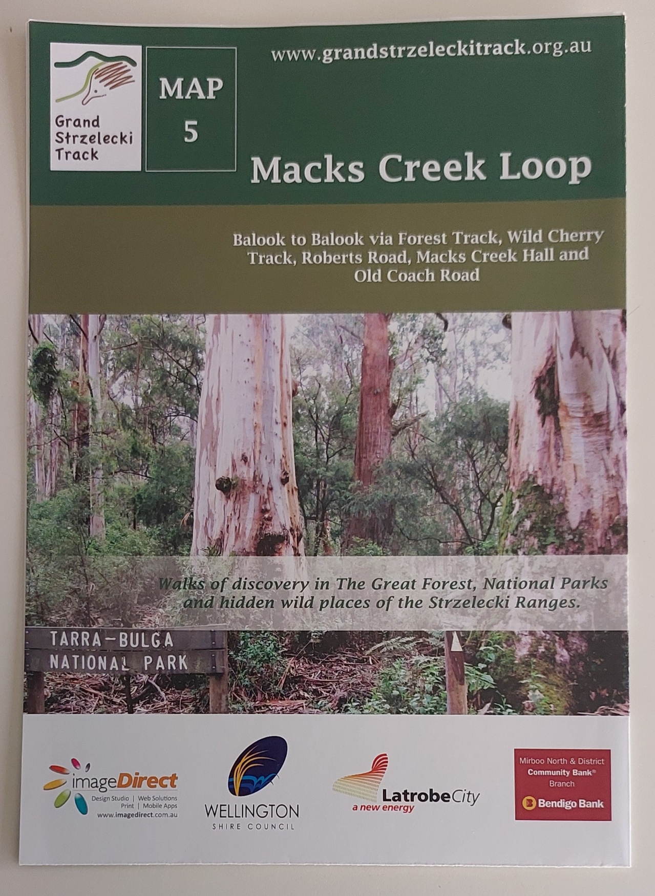
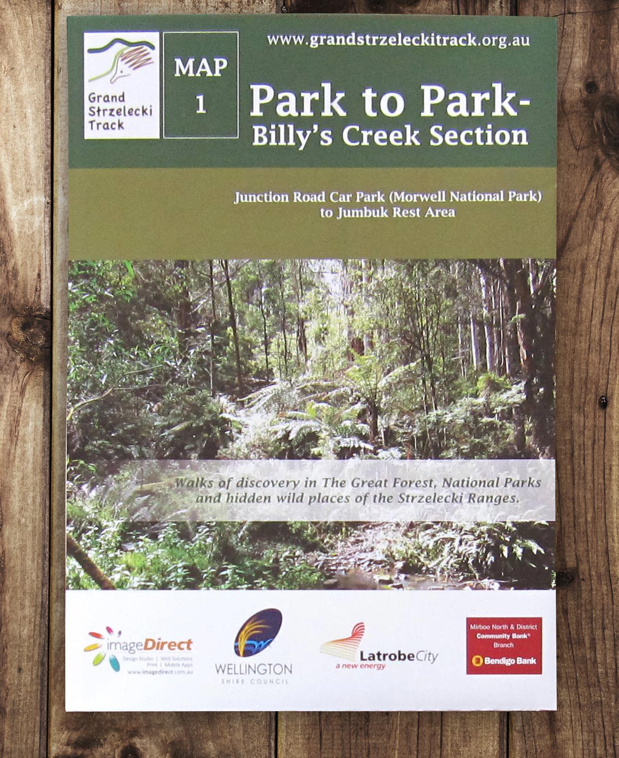
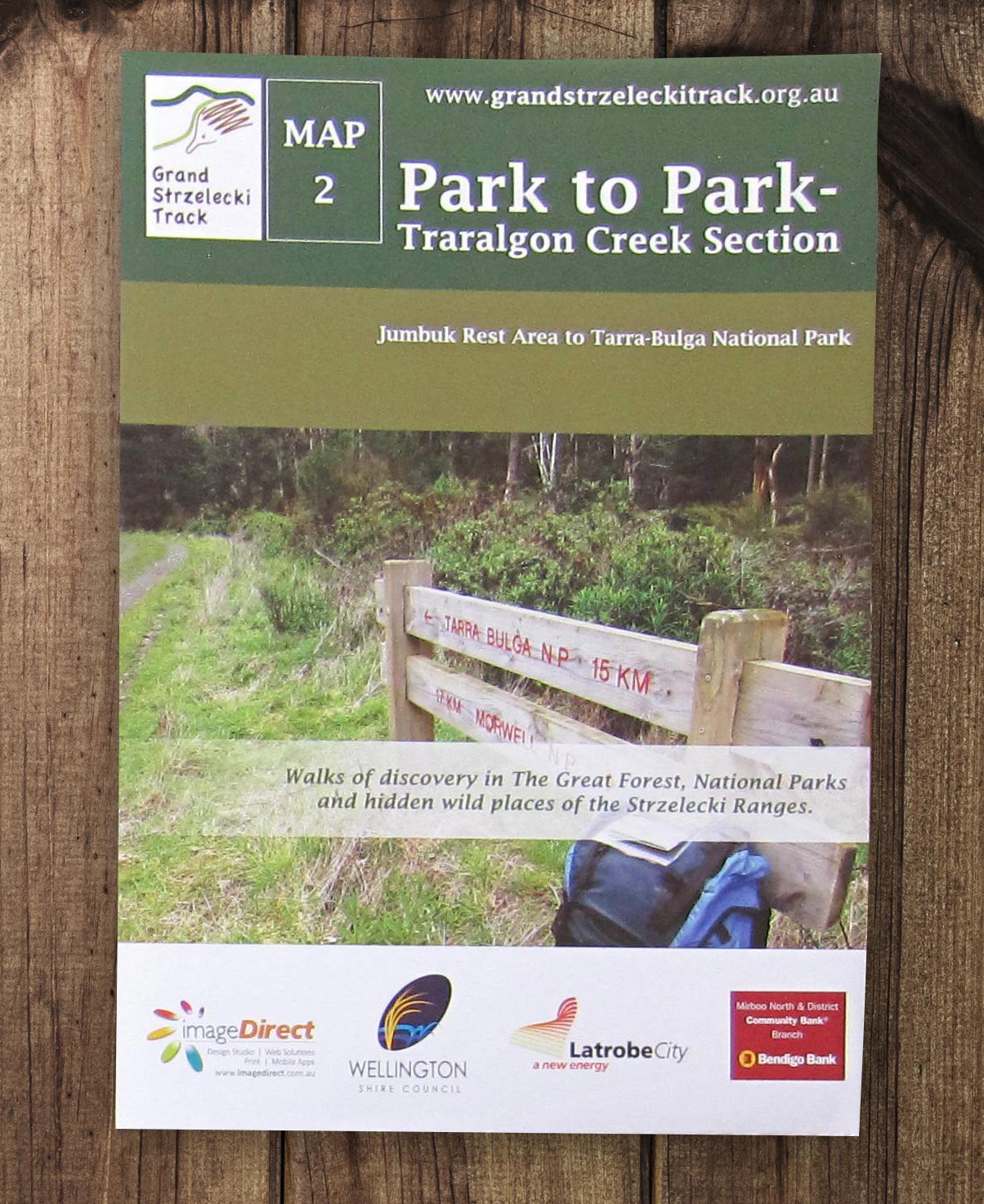
Morwell National Park to Tarra Bulga National Park, Mount Tassie Loop, Tarra Valley Loop and Macks Creek Loop.
These maps are primarily for navigation whilst hiking and identifying features along the way, although they do facilitate planning.
Each map is filled with useful information about the walks and beautifully presented including many stunning photos. Printed on high quality and durable paper, folded to a convenient A5 size, and packaged in a resealable waterproof bag.
Please contact us before placing your order for extra postage cost if purchasing more than one set.
Price includes regular post without tracking. A refund for combined postage is available if buying multiple posted items.
Registered post is optional at extra cost when added from the shop.