 Mount Tassie Loop
Story and images by Richard and Jane Florey
This time, Richard, the local resident of Balook (Tarra Bulga NP) and volunteer on the committee management of the Grand Strzelecki Track, headed onto a reverse direction of the Mount Tassie Loop, and was accompanied by his wife Jane, who is also a committee member, but who rarely gets a chance to do these longer hikes due to work commitments.
We completed this loop in an anti-clockwise direction, the less comfortable way according to the printed map. But it was with the idea of conquering Mount Tassie first and spend most of the time heading downhill. But also that Mount Tassie would be a perfect location for morning tea, followed by lunch at Forget Me Not Falls, and finally Morningside Homestead site Rest Area for afternoon tea. Although a great hike, timing of lunch did not go to plan, but of course, what goes down must come up was a challenge. The loop was shortened as hiking Duff Sawmill Heritage Trail was closed, reducing the hike by 2kms.
This was also an opportunity for Jane to understand how the (East) georeferencing map worked with dropping pins at waypoints, determining where we were along the loop and ensuring we were taking the correct track turn offs. These maps are sold in the website shop.
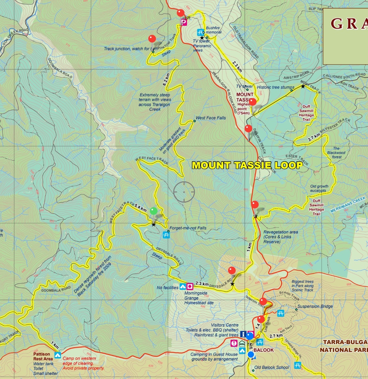
Distance 19km. Time 6 hours.
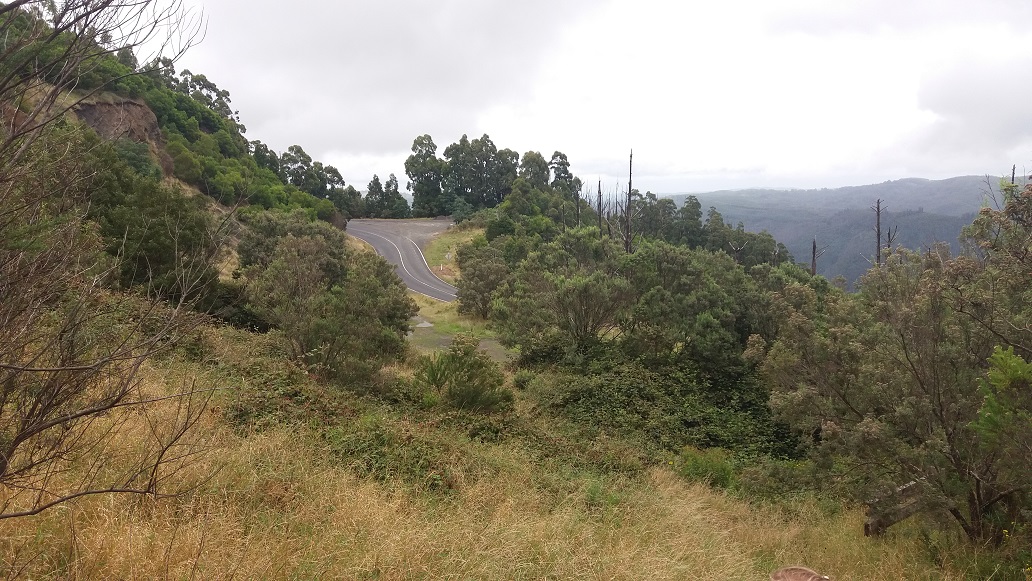
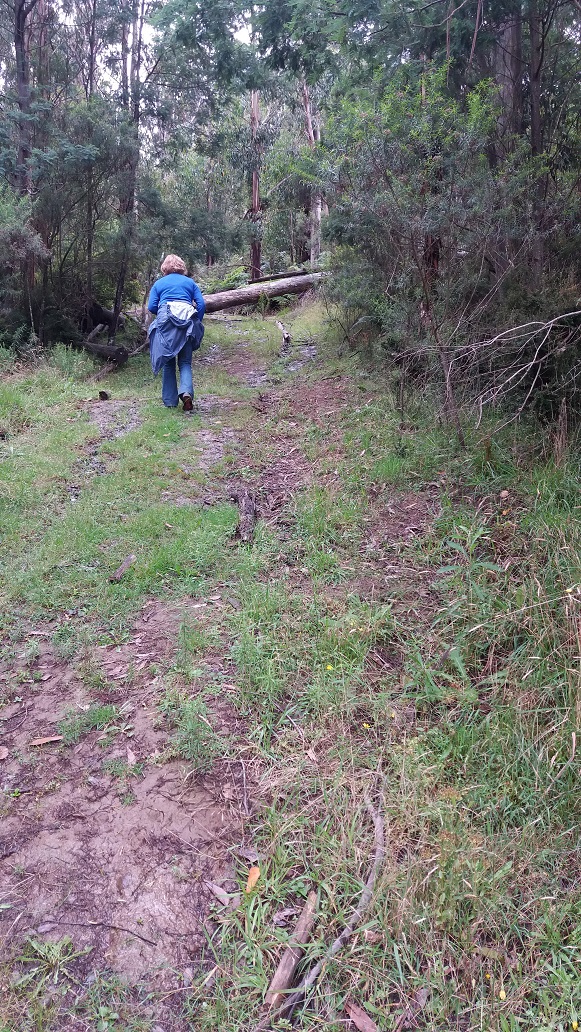
We headed out at 9:20am from Tarra Bulga NP Visitor Centre in Balook via the Link Track that would quickly take us down to the Grand Ridge Road where would cross over and quickly start the loop. The temperature at this time was 10 degrees with a top forecast of 16 degrees.
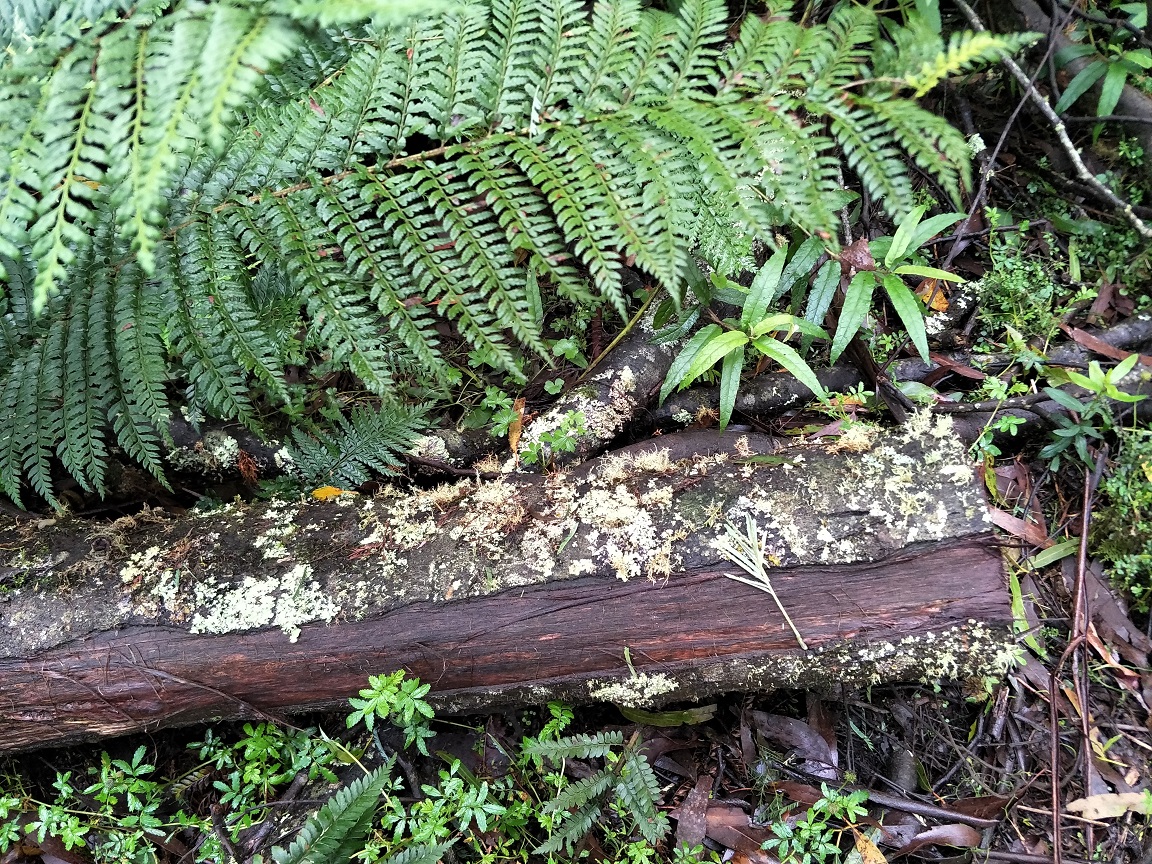
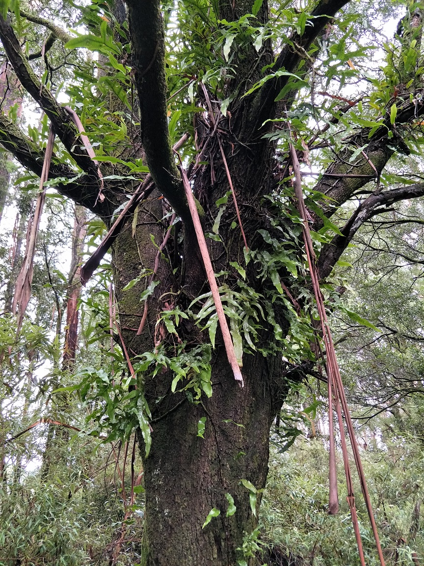
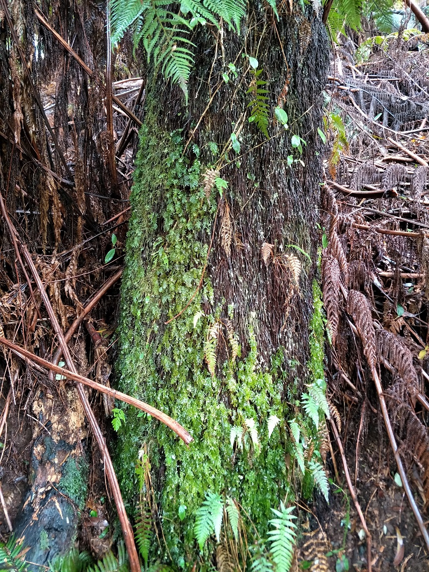
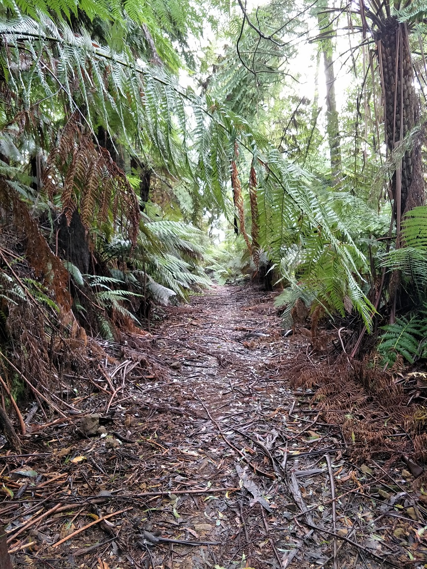
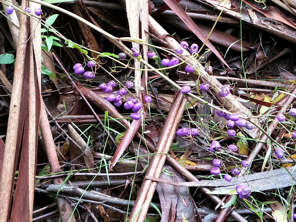
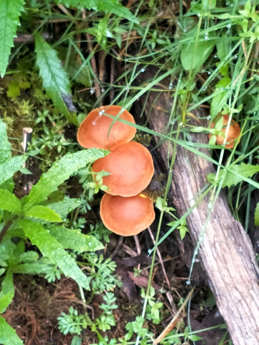
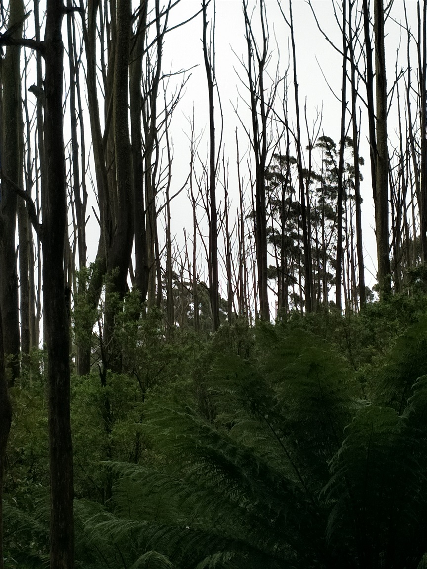
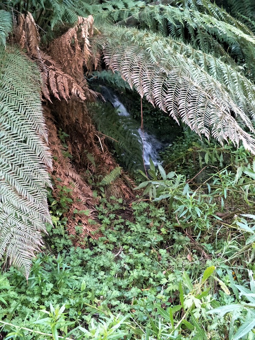
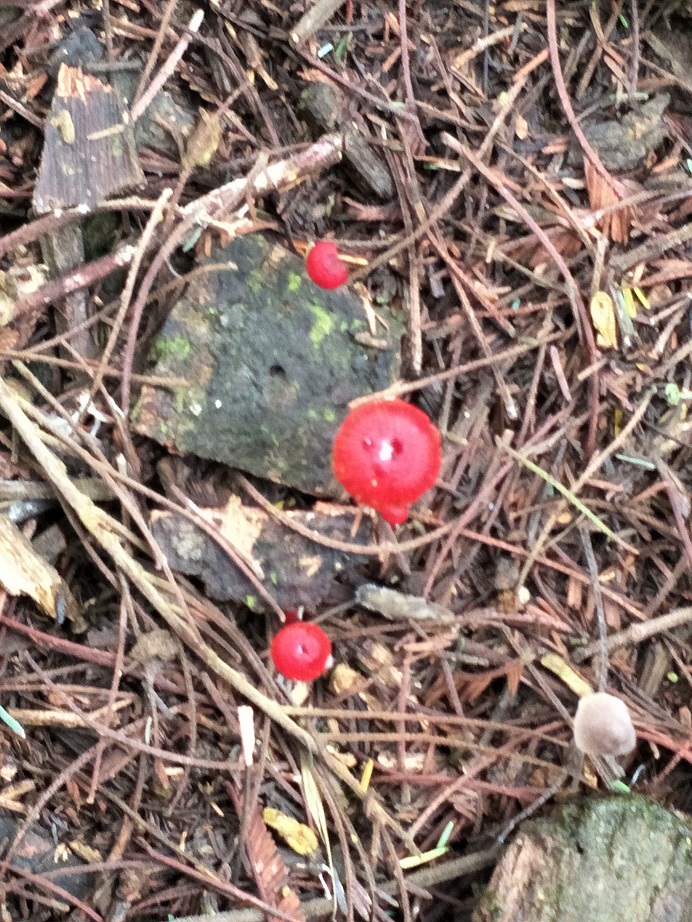
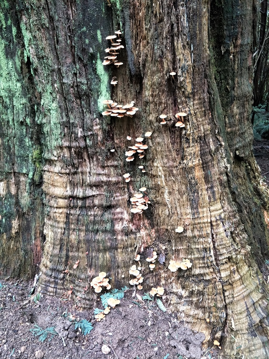
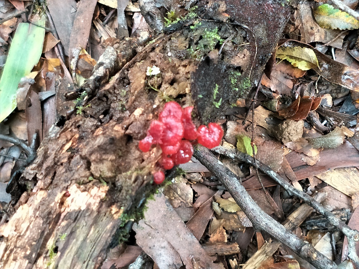
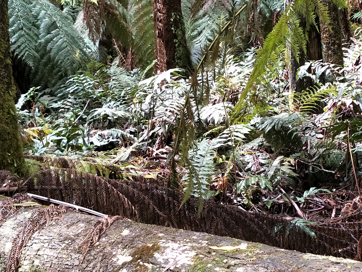
The Link Track rises but quickly descends to the road. Being a damp environment as the national park is known for, there were interesting sights worthy of photographing. Lichen on logs and trees which only grows in fresh air, mosses, wet bark and leaf matter, fungi, Epiphytes growing on Blackwood Trees, Mountain Ash Trees, Silver Wattle Trees, Ferns and groundcovers. But also the sounds of cockatoos, robins and kookaburras.
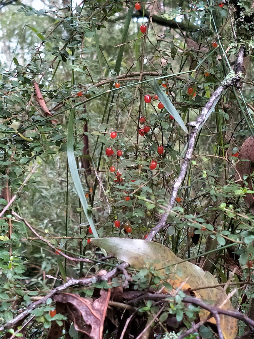
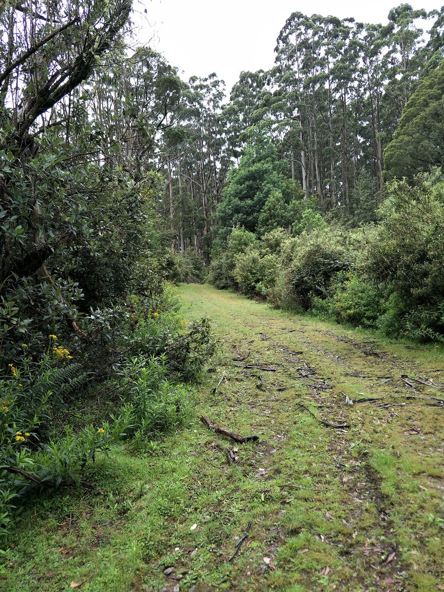
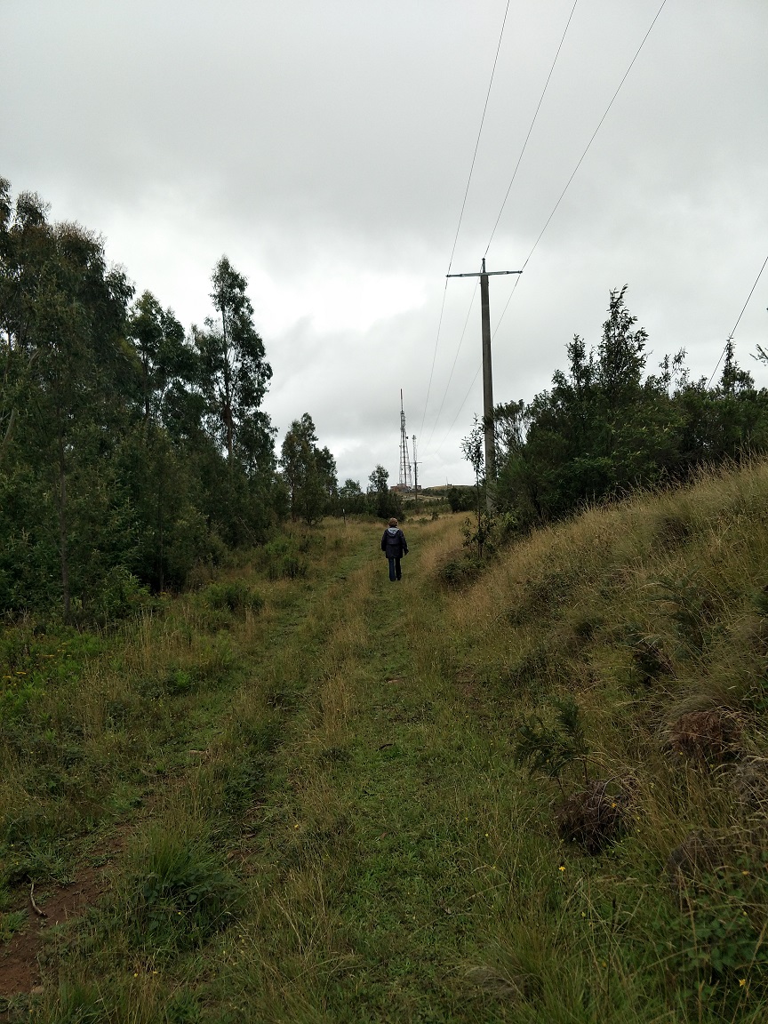
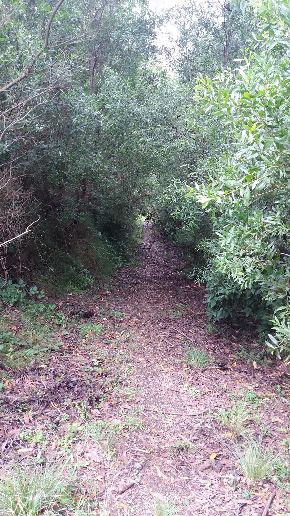
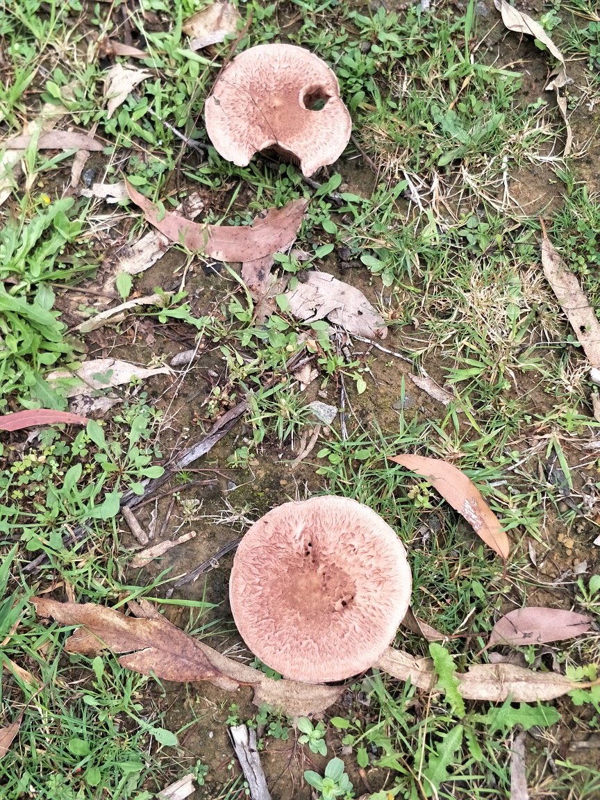
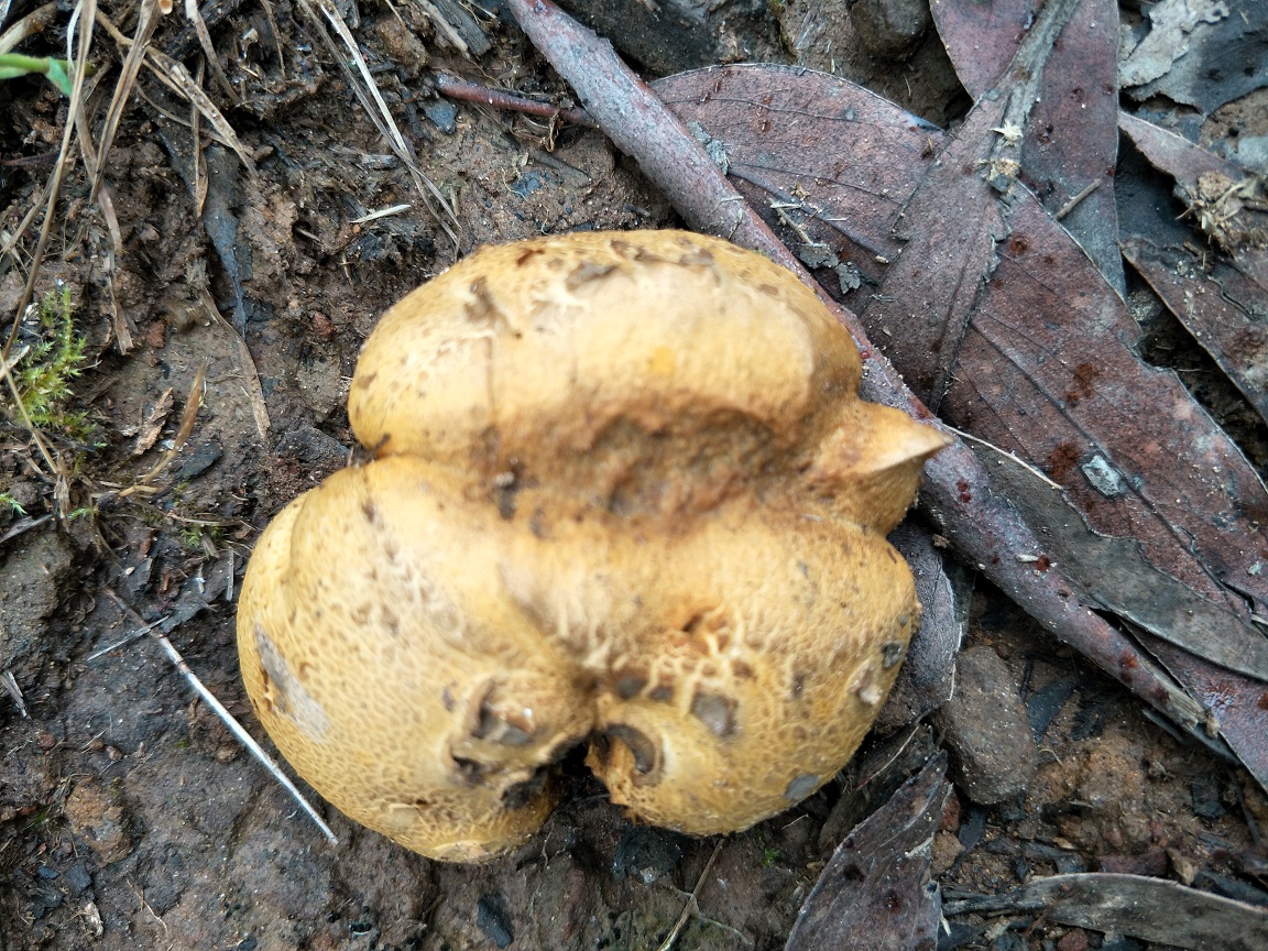
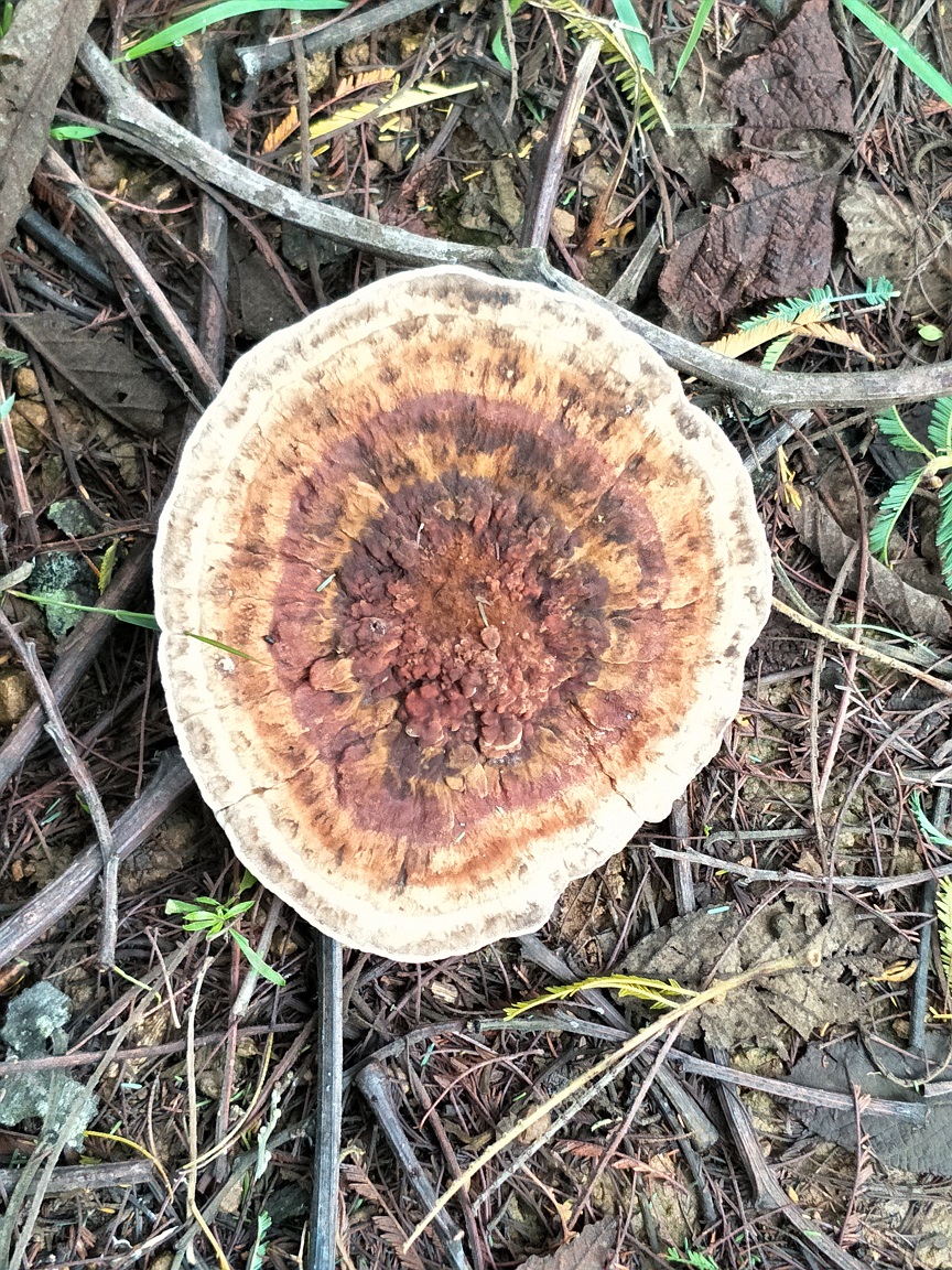
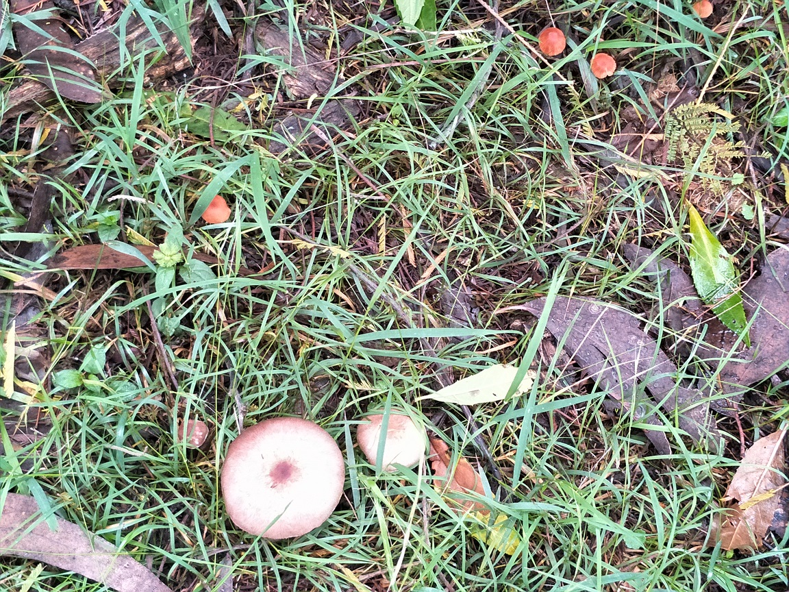
Entering Telecom Track rises slightly but quickly from the road. It is littered with much bark, wet leaf matter and small fallen branches making it necessary to tread carefully. Finally, it opens up to a wide grassy track. We spotted Tasman Flax Lily, toadstools and a section of a burnt out area remnant from the 2009 Black Saturday bushfire.
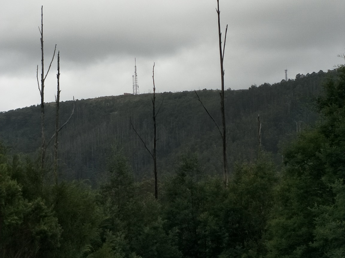
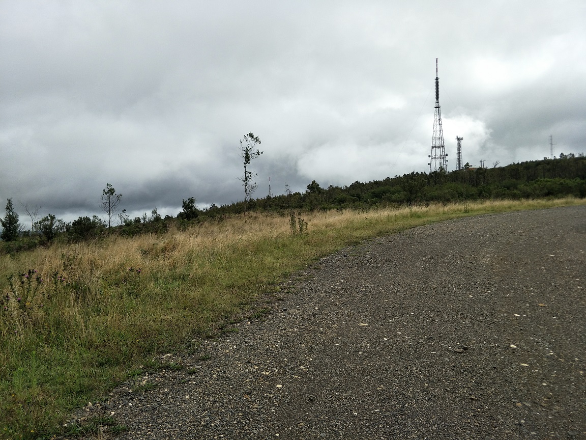
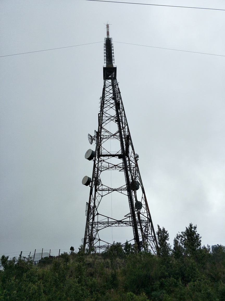
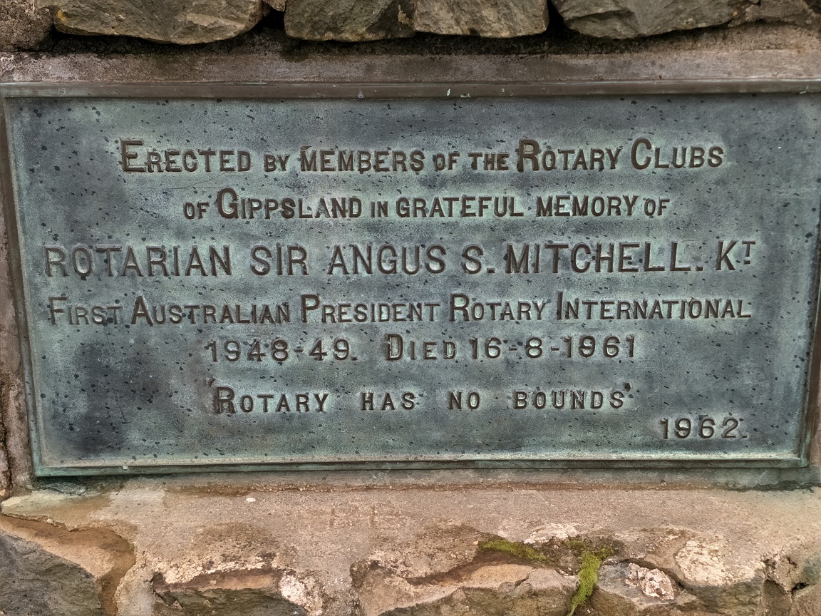
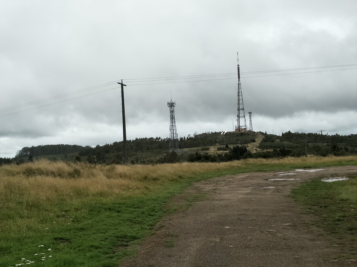
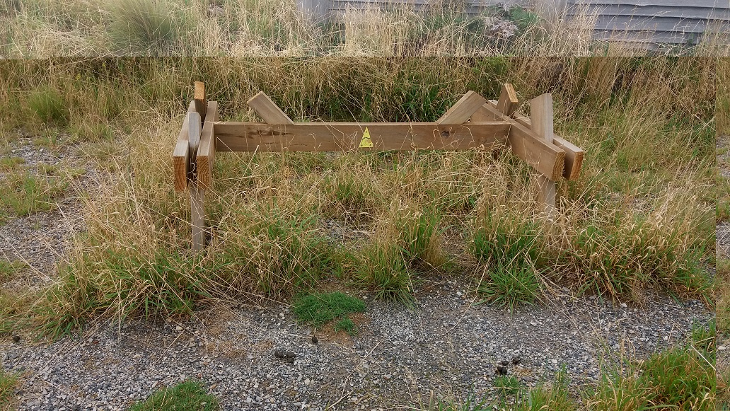
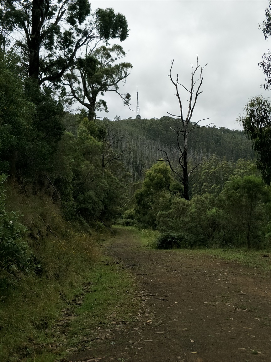
We hit Traralgon Balook Road opposite Duffs Sawmill Heritage Trail, which was closed, and so we walked along the road to Callignee South Road that led us to the entrance and climb to Mount Tassie. This took two hours to reach this point. It brought a variety of sights as the walk rises and passes communications towers that ends at the lookout viewing across Latrobe Valley. There is a memorial to the lives lost in the 2009 Black Saturday bushfire. We were very disappointed to see the bench tables had been vandalised and have reported them with the view they would be repaired or removed. We sat at the lookout for morning tea, which was pleasant.
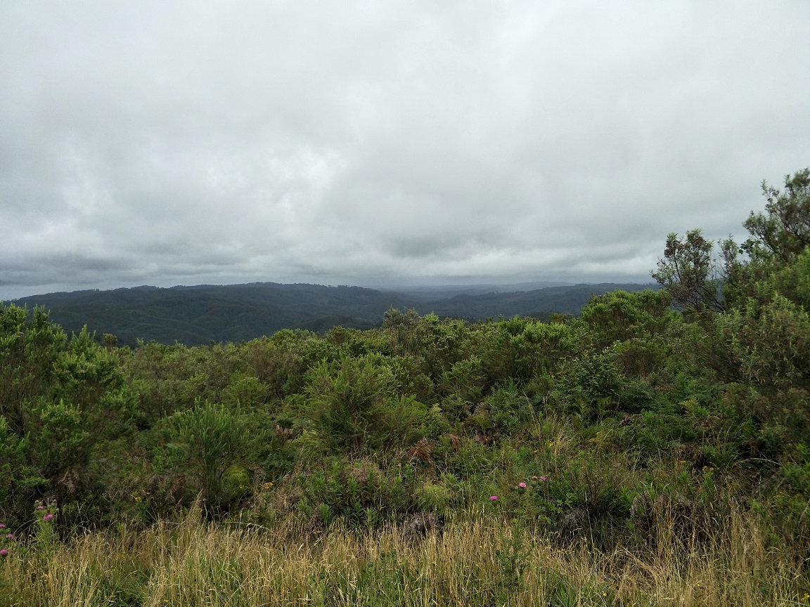
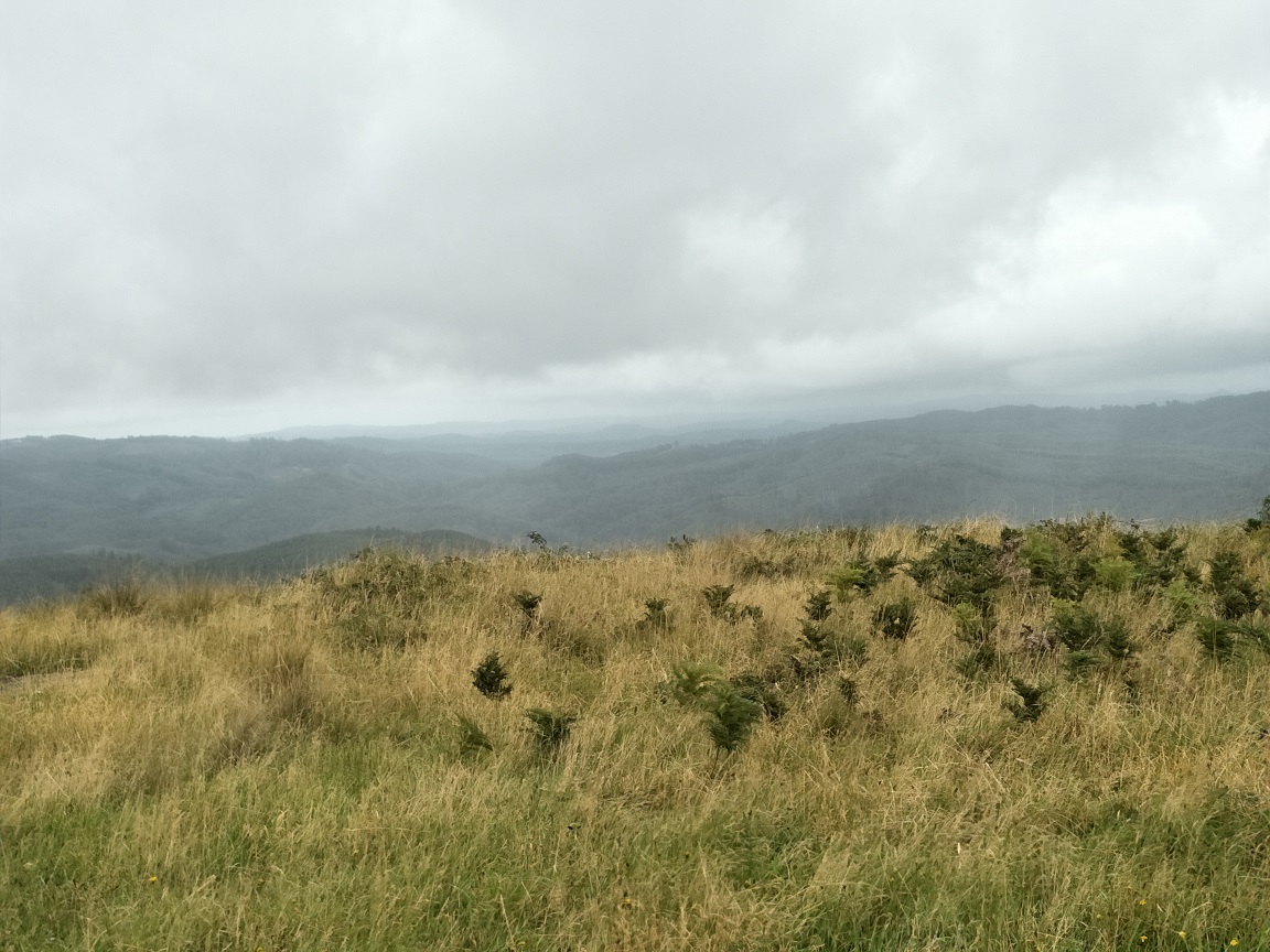
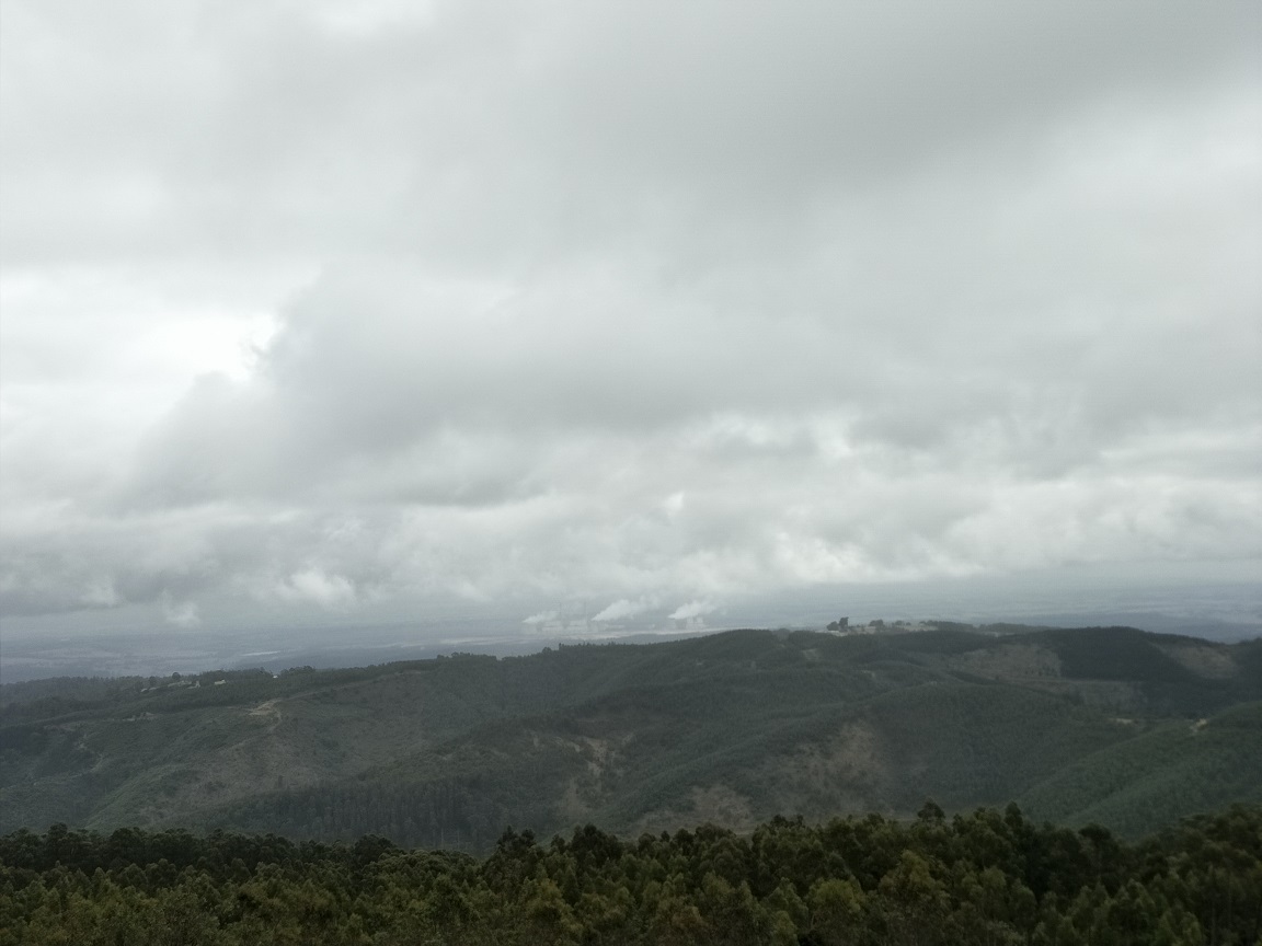
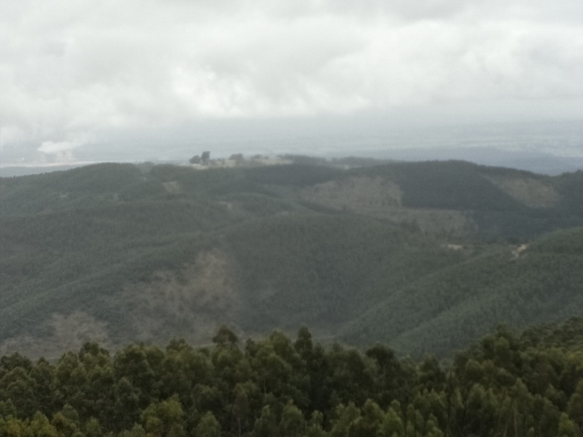
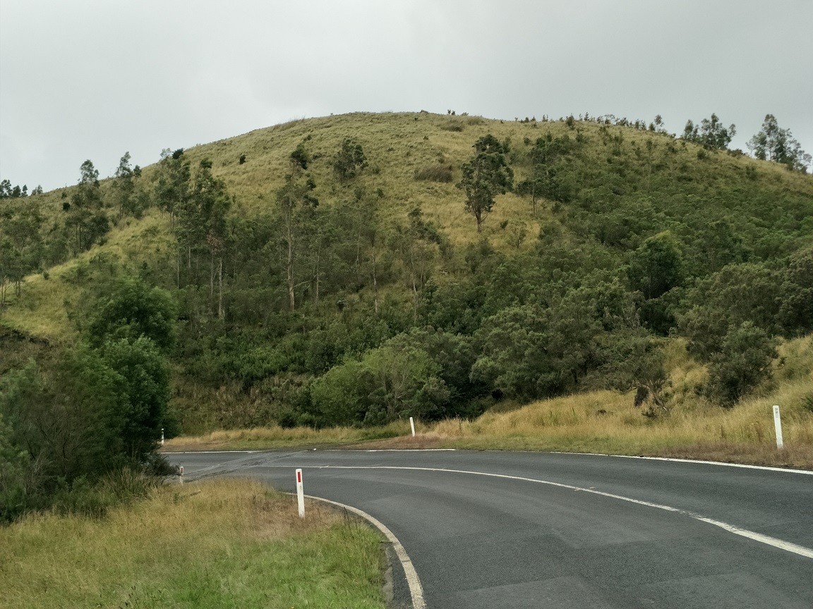
We followed a windy but overgrown track down Mount Tassie that lead back to Traralgon Balook Road opposite to start of Pine Trail Track. Mount Tassie is government managed but would say their resources are heavily vested in the bushfire affected area of East Gippsland. The views from the road are amazing.
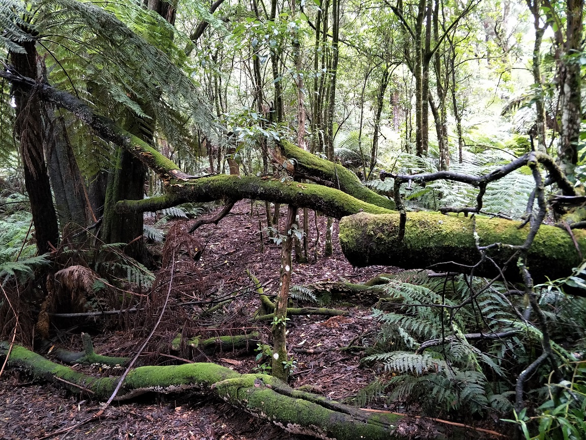
Pine Trail Track descends gently but quickly away from the road extending 500m before meeting West Face Track. Many small trees had fallen and there was much overgrowth. This section had been hit by strong wind, nonetheless, track clearing work will be underway shortly.
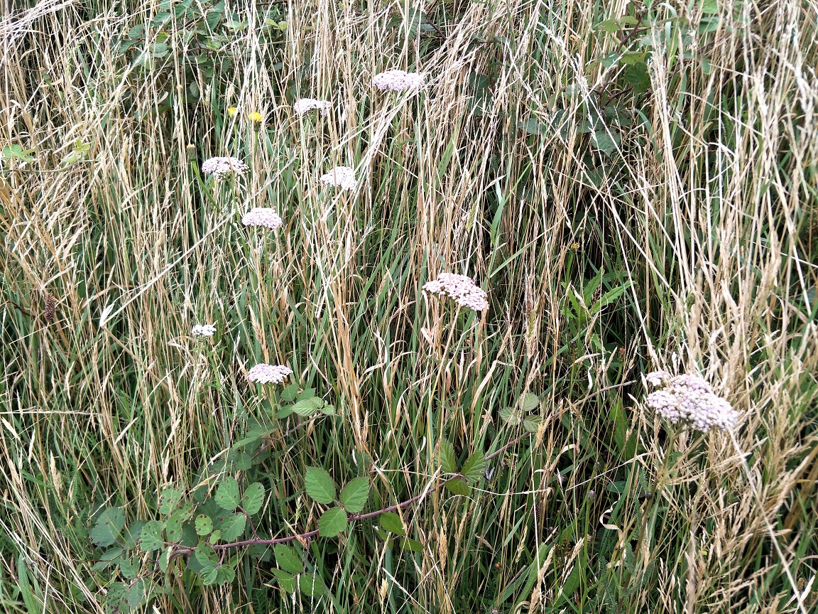
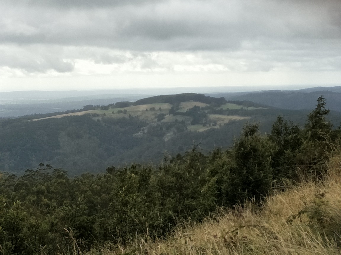
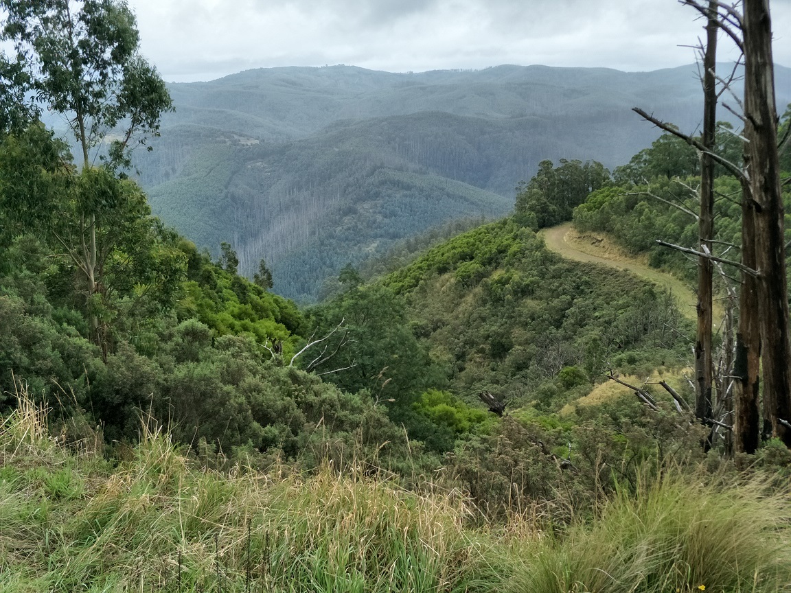
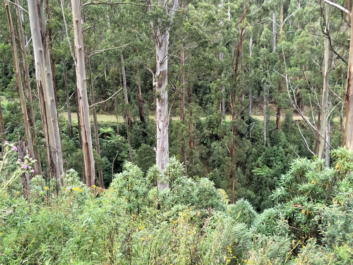
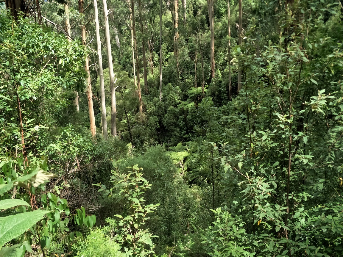
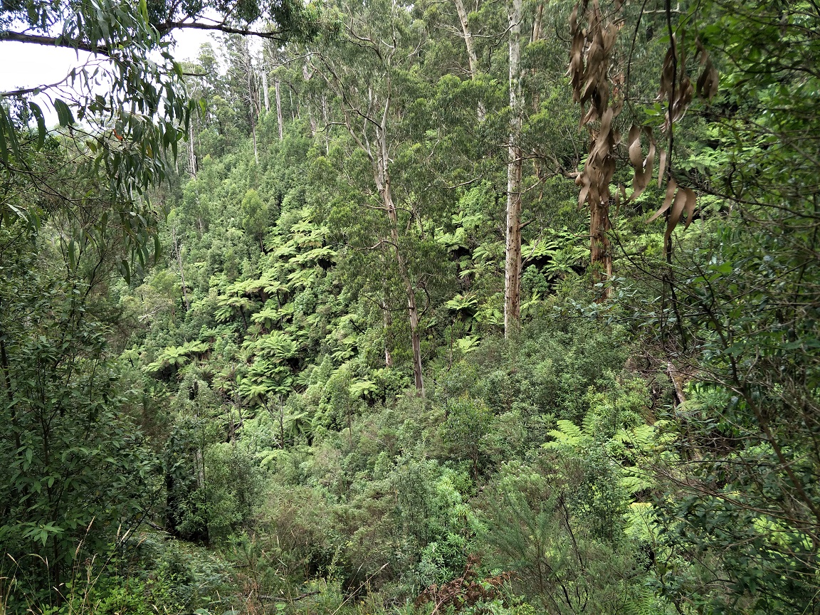
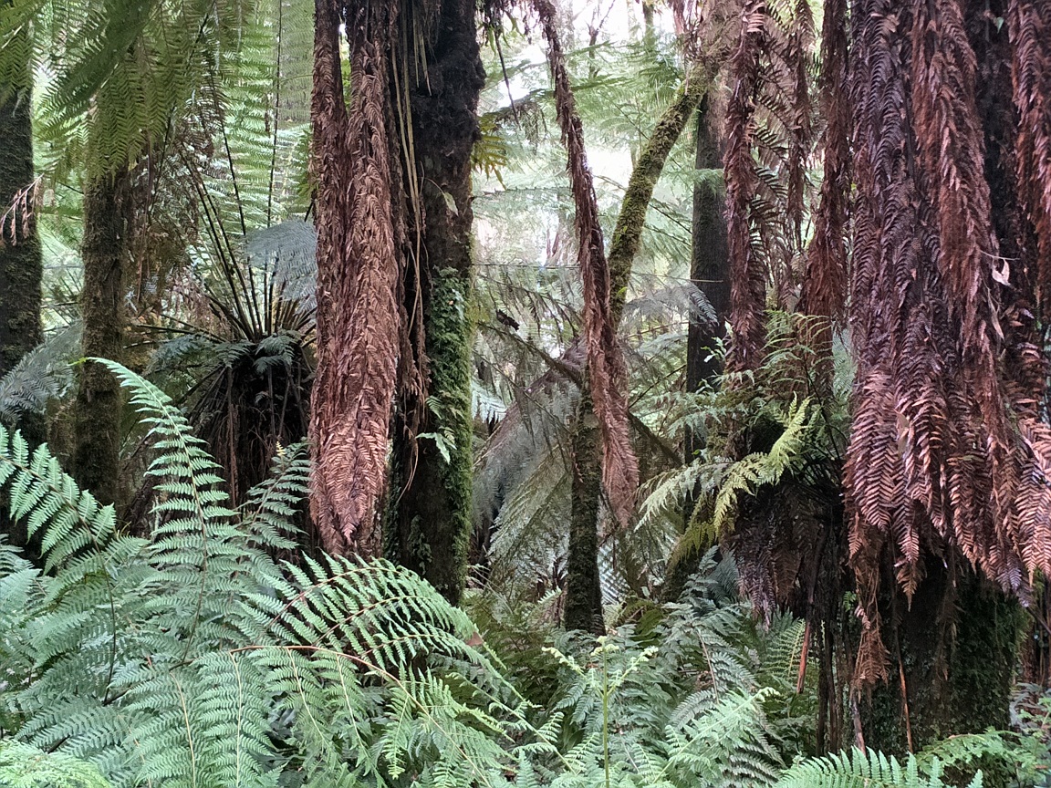
West Face Track is a major plantation road extending for 6.2km to Drysdale Road. West Face Track descends gently for almost 5km with great outlooks and close ups of deep gullies, ferns, wallabies, sounds of flowing water and a lyrebird, small waterfalls and a number of fallen burnt trees. This is where lunch did not go to plan as Forget Me Not Falls was still two hours away and it was past noon already. We stopped nearby flowing water on damp ground giving us wet bums through our clothing. The positive was the sounds of birds and distant sound of an RAAF jet having some fun in the area. The falls were inaccessible, again with overgrowth, but also the amount of sitting water. We are aware that this area will be cleared as part of upcoming clearing work. We were a little disappointed that there was no bench table and seat as the map shows, so we still would have ended up with wet bums anyway. What was impressive was the realisation of just how much of a descent we had made. Despite being at times steep and gradual, we had descended from 750m at Mount Tassie to 420m at the lowest point of the West Face Track.

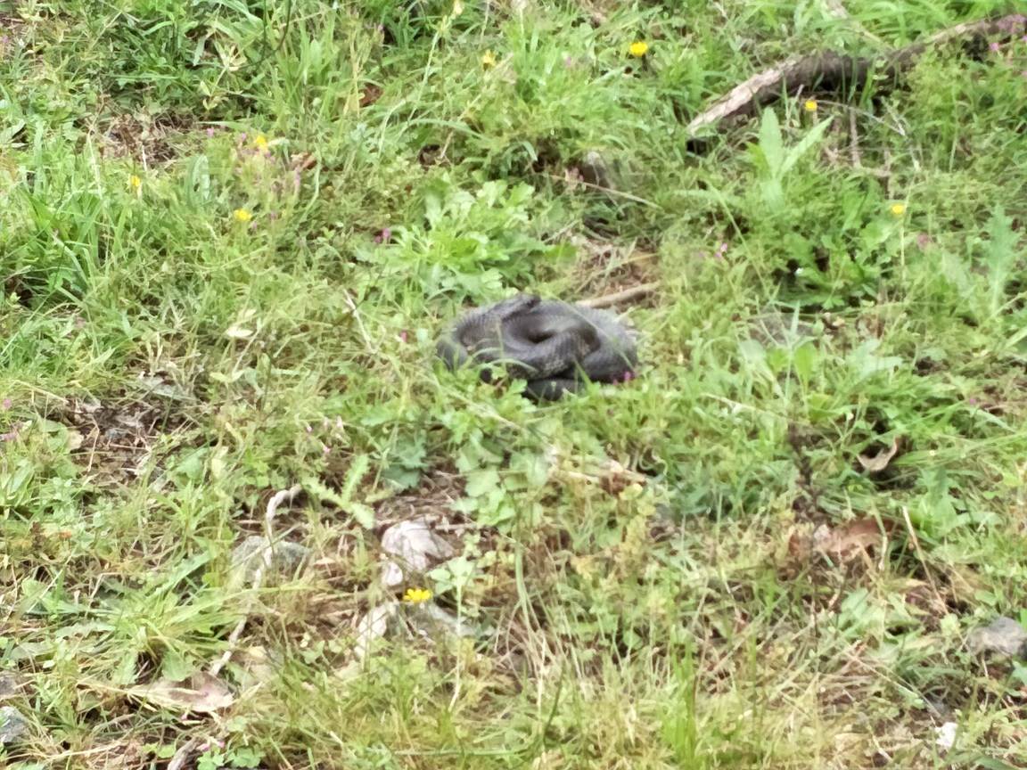

From the falls, the track quickly ascended for quite a distance, passing a resting but awake tiger snake. We were becoming somewhat exhausted. More-so Jane. The challenge came when we met the start of Drysdale Road, which ascended even steeper and we had some time to go before we would reach Morningside Homestead site for afternoon tea. This is also where we cracked open our bottles of water. The skies had cleared and the temperature had picked up to around 16 degrees. Jane was not impressed with the extent of this climb. I told her that I forgot it was an extensive climb. What else could I tell her?
The hike up Drysdale Road was met with many small fallen trees, but was not overgrown. It appeared to be another hard hit area. We clambered under some but climbed over most, helping each other on some of them. We finally reached the rest area and sat on a fallen tree for a sandwich and cuppa, knowing that the track would level out soon and only approximately 2.5km to go. The rest area is suitable for camping as it is set on the edge of the track. Access is by foot only, but has no facilities and campfires are prohibited.
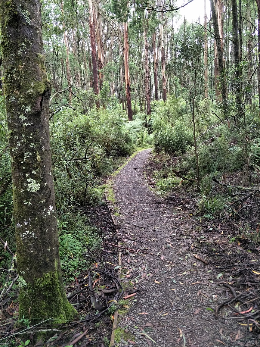
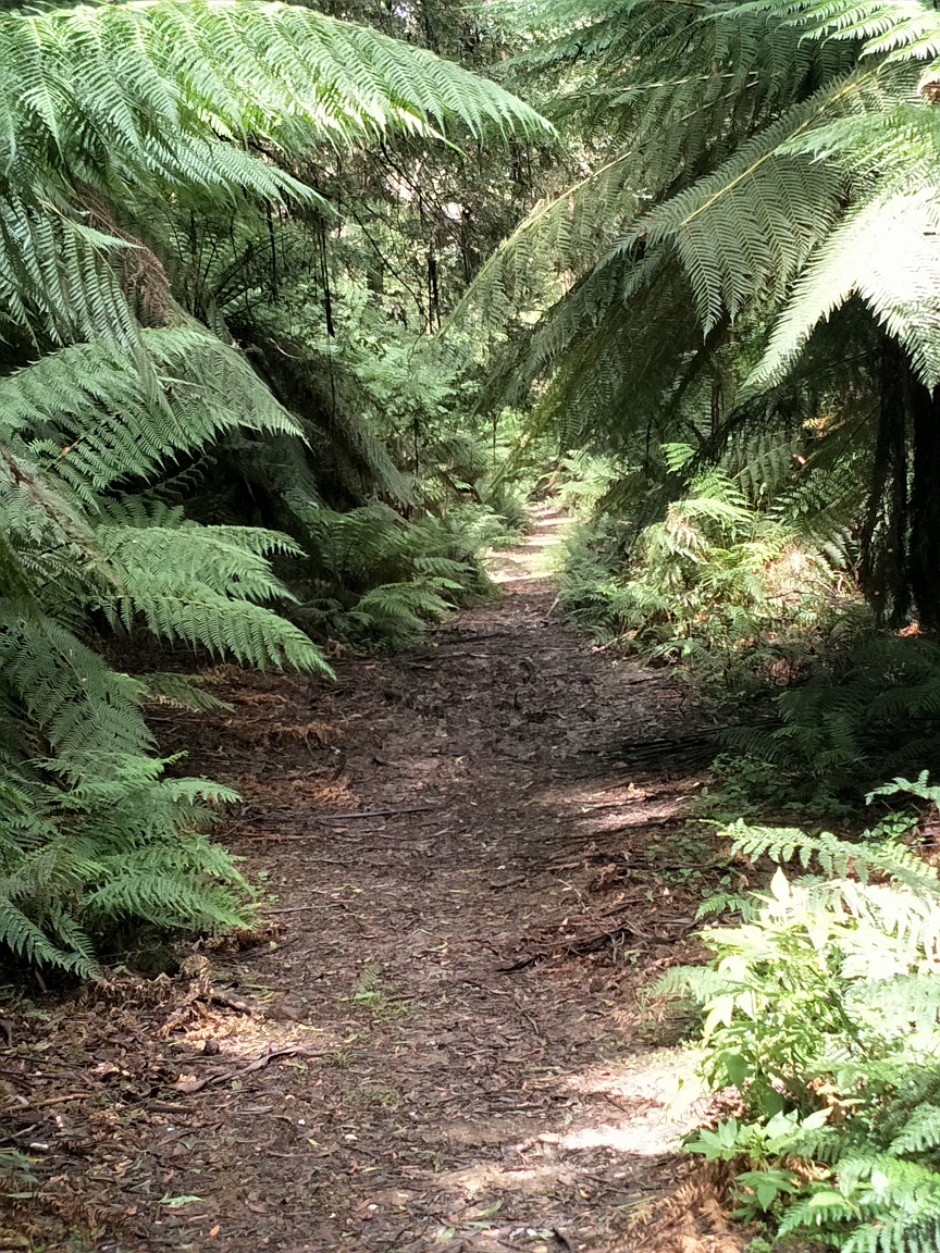
We could sense that were approaching Tarra Bulga NP as the environment changed with its trees, ferns and dampness. Eventually it became a very pleasant walk, providing photo opportunities and a coolness in the air. Eventually, we met the Telecom Track that would lead us home.
At times our legs and feet were sore, but then suddenly come good. Overall, the loop was pretty good, mostly accessible, diverse with great views and all-in-all worthwhile. Jane later read the Mount Tassie Loop printed map that stated it is more comfortable to hike it in a clockwise direction from Drysdale Road. In my view, it is only because the ascend on Drysdale Road is longer that makes it more uncomfortable, but I thought the climb up Pine Trail Creek and Mount Tassie would have been just as hard, if not harder. Maybe we’ll try it that way next time. Not sure if Jane would accompany me though. I must say, that she enjoyed the first half and the final leg.