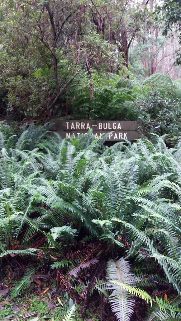
Grand Ridge Road on the Tarra Valley Loop
Story and Images by Richard Florey
I last walked this loop in the summer of 2018 when it was a 37 degree day. Beside that, I am a local resident of Balook in Tarra Bulga National Park and also a volunteer on the Management Committee of the Grand Strzelecki Track. One would think I that should have done this loop many more times in between. But things get busy and time passes before you know it. I have however done both the Mount Tassie and Macks Creek Loops in between, so I don’t feel too guilty.
Although I have been asking for your stories to publish and share, well here is my story of hiking the Tarra Valley Loop in an anti-clockwise direction because I like short steep downhills and long gradual climbs. However, this did not quite go to plan but I was rewarded with the experience of taking a slightly different route. On the other hand, you should hike it whichever way you want. I have based my distances mainly by time from when I left home.
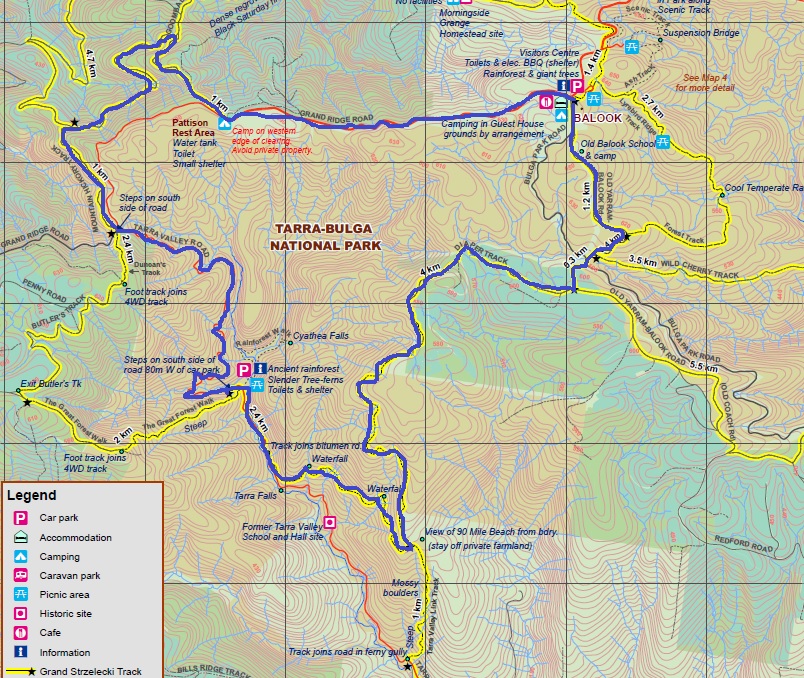
Actual distance 22.8km. Estimated time 8 hours. Re-routed estimated distance 18km. Actual time 6 hours.
9:00am – I departed home (near the Visitor Centre) with raincoat, cap, waterproofed boots and Bushman’s spray, sandwiches, water and a flask of coffee in the backpack. It was 10 degrees, low cloud, misty rain and 75% humidity. The forecast was for 19 degrees, so a fairly pleasant but humid day for here. Balook had 180mm of rain over the past week and 200mm for the month of January. With the Diaper Track known as the second wettest track to the Wild Cherry Track along the Macks Creek Loop, I knew I might be in for some mud underfoot and leeches wanting to draw blood.
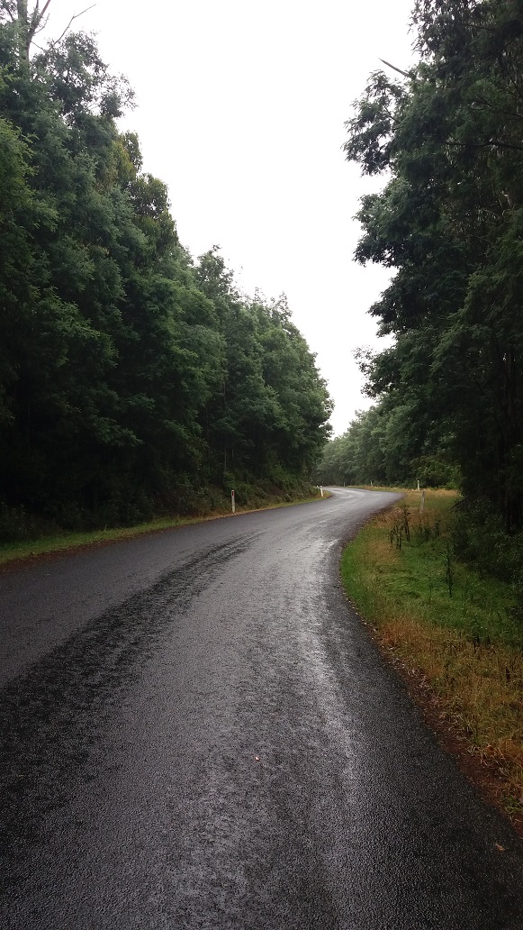
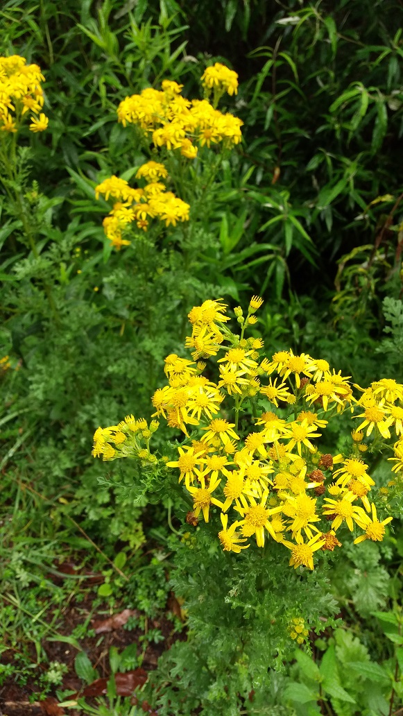
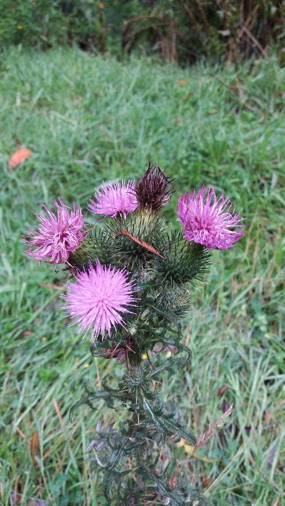
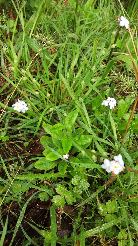
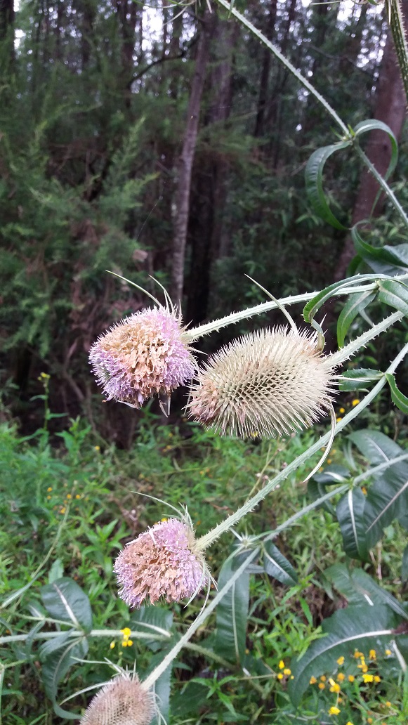
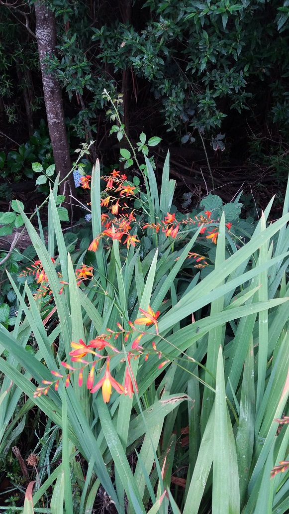
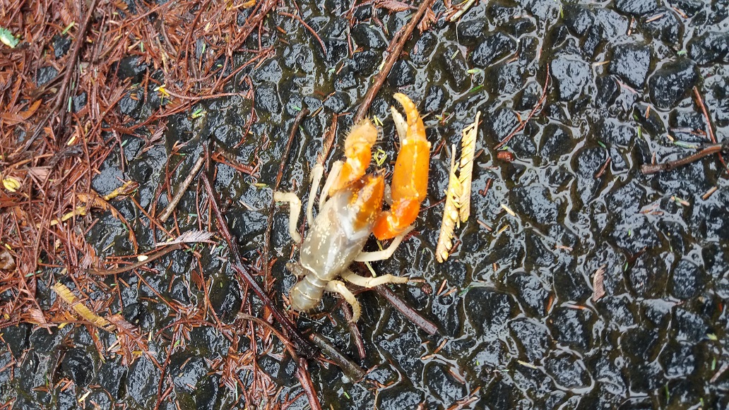
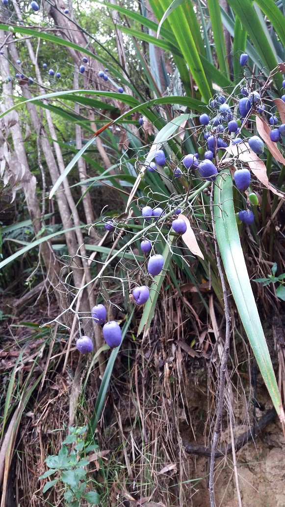
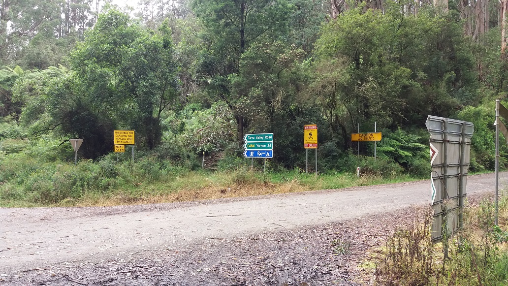
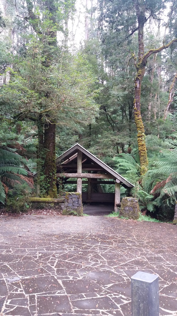
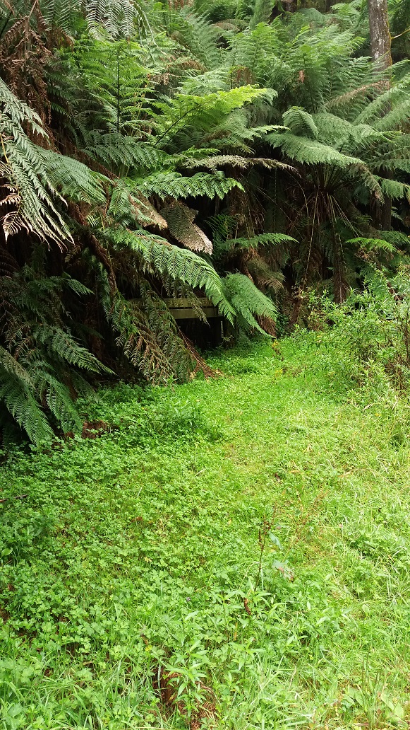
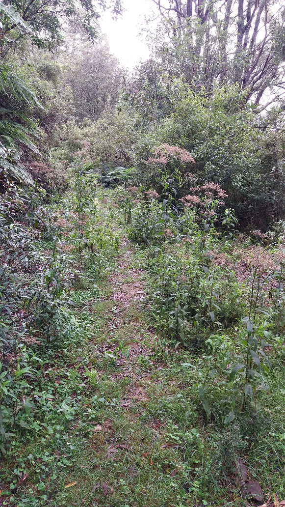
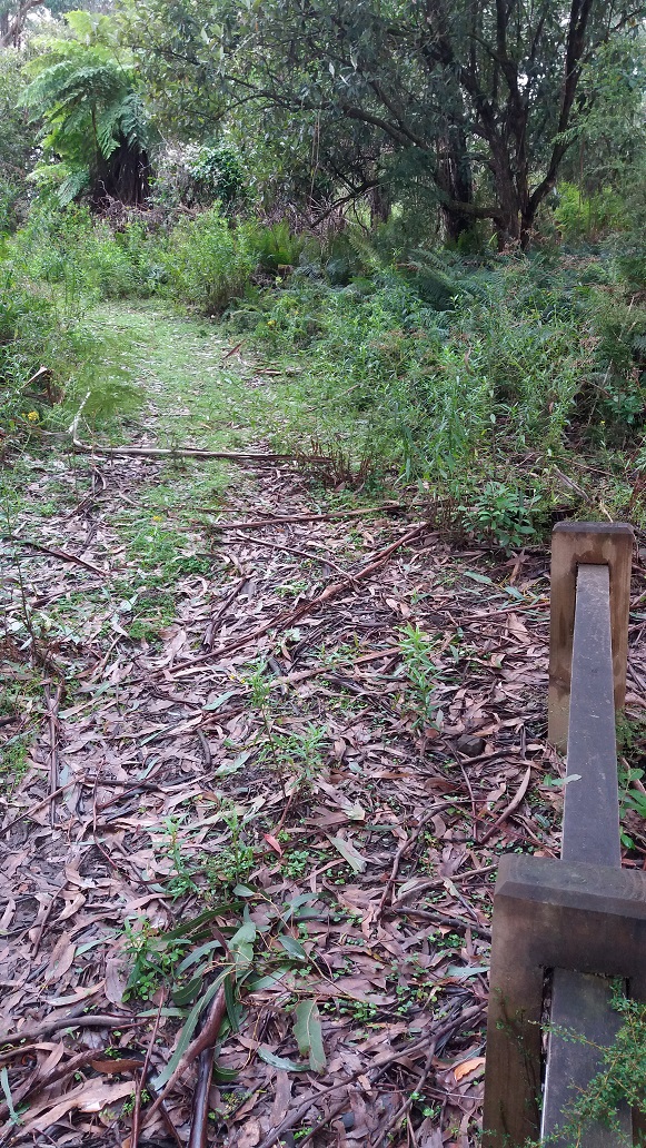
It was a 2.7km hike from the Tarra Bulga Guesthouse and café (at roadside marker 71) along the Grand Ridge Road to the start of Goombala Road (past roadside marker 73.5), where there were a few things to observe in flower (mostly weeds) and the remnants of a Gippsland Burrowing Cray. Weeds not indigenous to the national park found here are Ragwort, Thistle, Forget Me Not, Teasel and Montbretia.
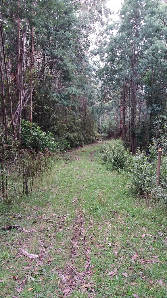
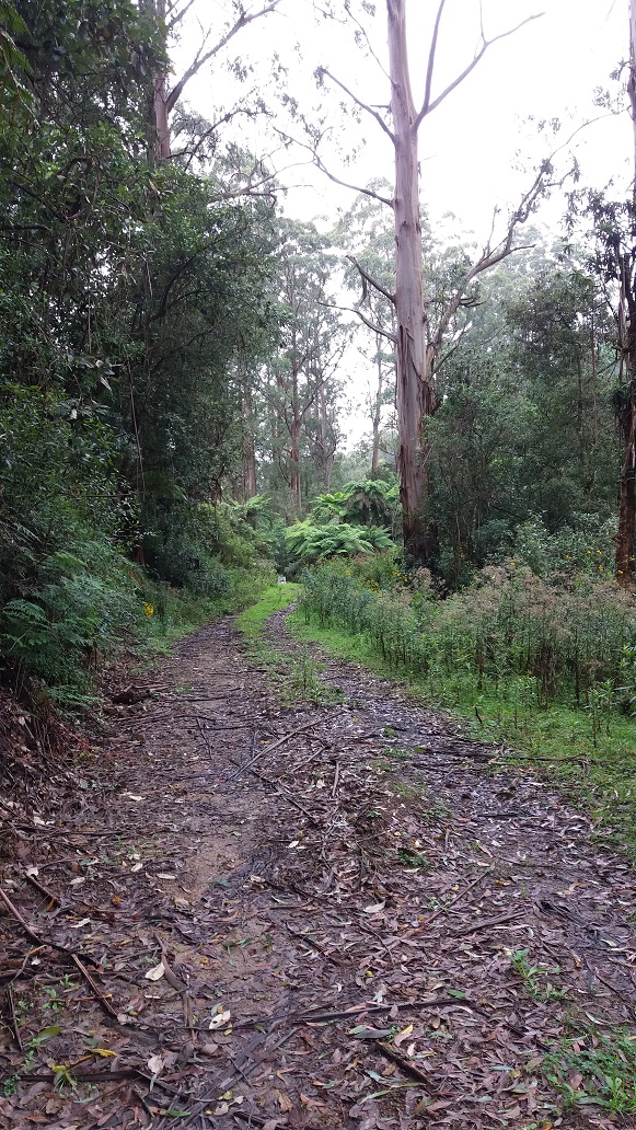
9.37am – Goombala Road, which is opposite our free campsite (Pattisons Rest Area) would then take me to Mountain Hickory Track for 2.1km to reach the top of Tarra Valley Road, where I would meet the start of Duncan’s Track. Goombala Road had a good road base underfoot and I could hear lyrebirds and kookaburras, as well as see glimpses of other parts of the Strzelecki Ranges and plantations in the distance.

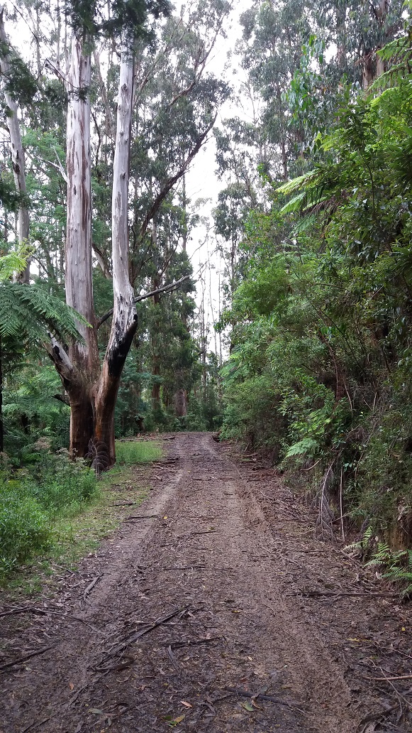
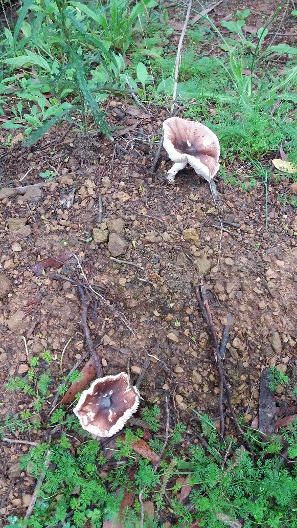
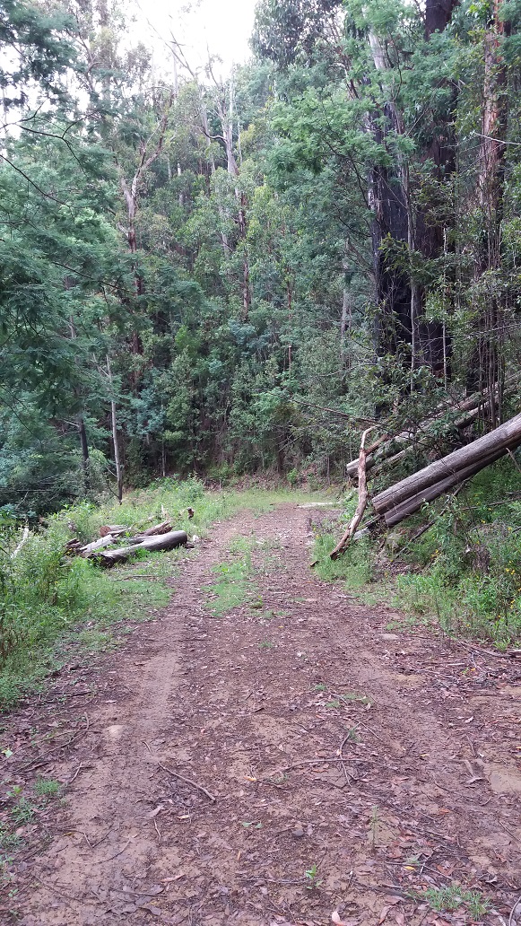
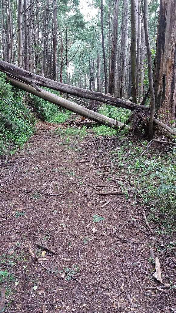
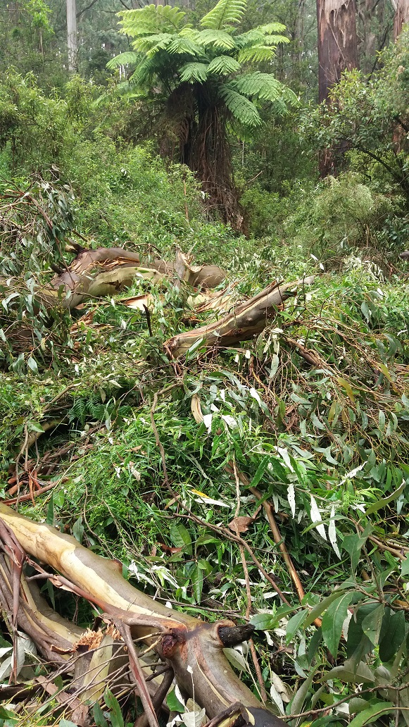
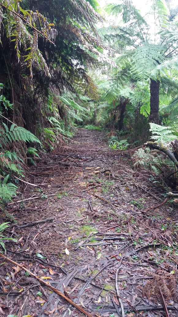
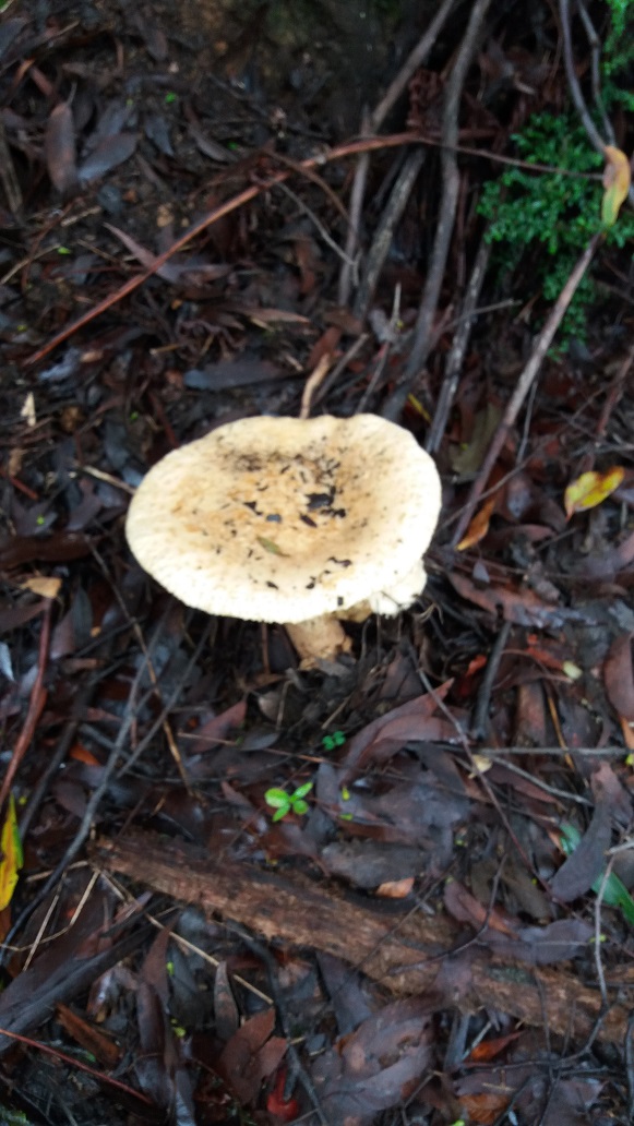
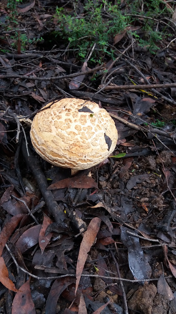
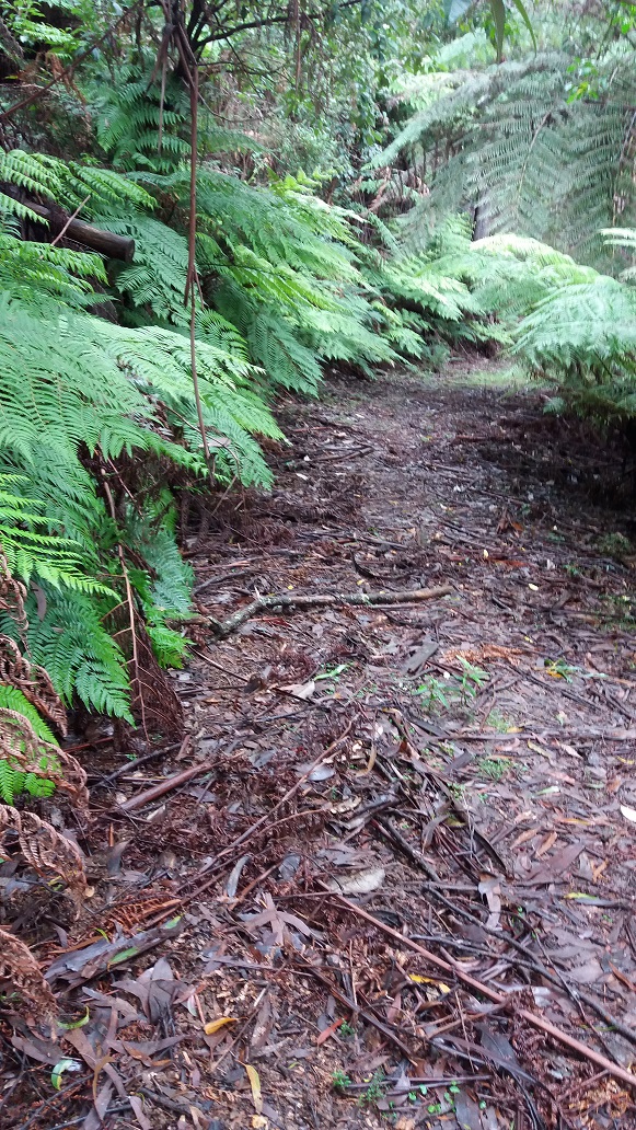
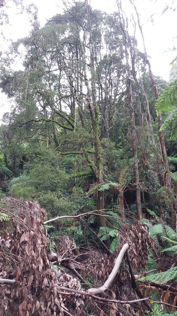
9.55am – I met the turn off to Mountain Hickory Track. There was a section of fallen trees for a 7-minute duration, some overgrowth, toadstools and a deep gully with flowing water. But generally, the road base was good and signage easy to follow. I am informed that these trees will be cleared in the coming weeks once the road base has hardened sufficiently for large machinery to operate safely.
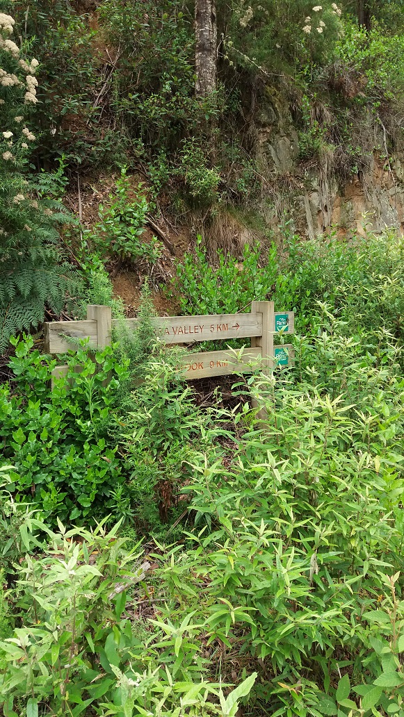
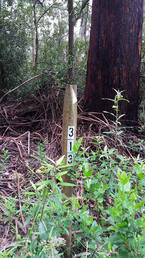
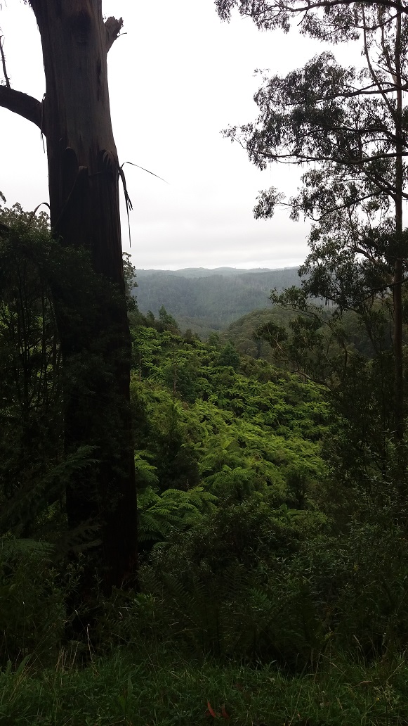
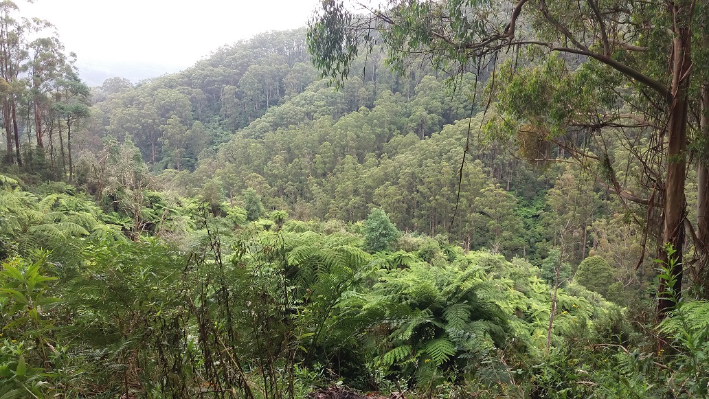
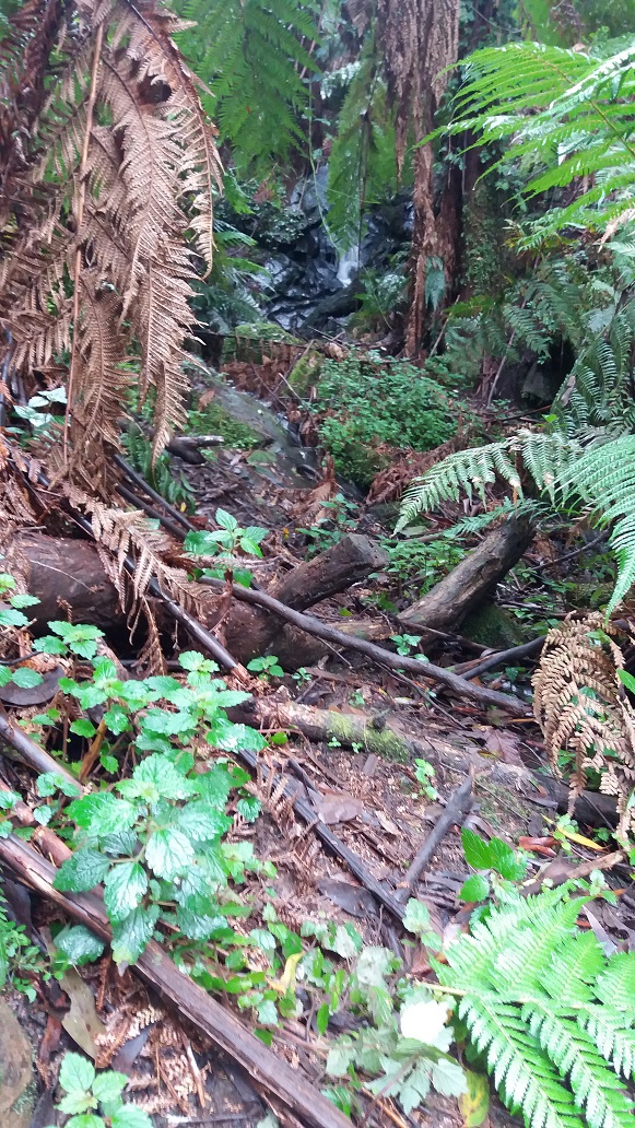
10:22am – I met the final turn off to Tarra Valley with 5km to go (Marker 313). Again, generally, the road base was good and wide clearance. There were some great rock formations, water from excess rains, vistas and burnt trees from past bushfires.

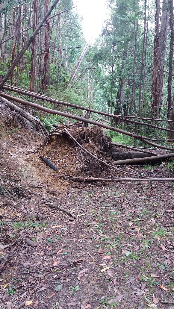
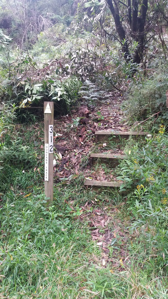
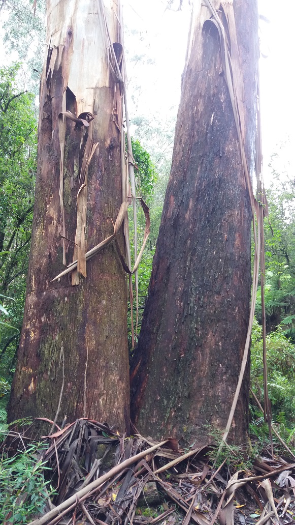
10:37am – I made it to the top of Tarra Valley Road where Duncan’s Track starts (Marker 312). This is where it did not go to plan. The entrance to Duncan’s Track was blocked with a large fallen branch and after climbing my way through, I could not clearly see the next track marker. Although I had done this track a year or so ago, I felt I would be disorientated quickly if I proceeded. I forgot to bring some coloured marking tape to mark out areas I feel are insufficiently marked, but also because I felt this track in particular needed better marking. I will let the land management owner of this track know that clearance work needs to be done, and I look forward to hiking it again soon. I had to back out, leaving me no option but to walk down Tarra Valley Road to the Tarra Valley Picnic Area.
Before heading down Tarra Valley Road, I knew there were some scenic glimpses 500m further along the Grand Ridge Road (turning right and near road marker 76).
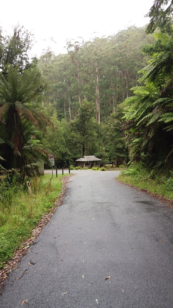
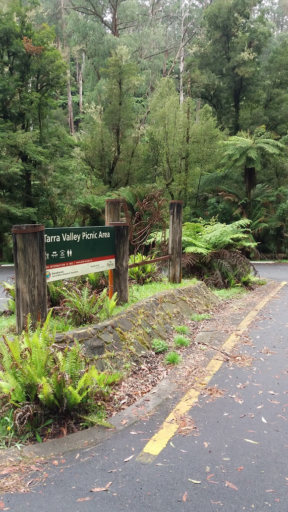
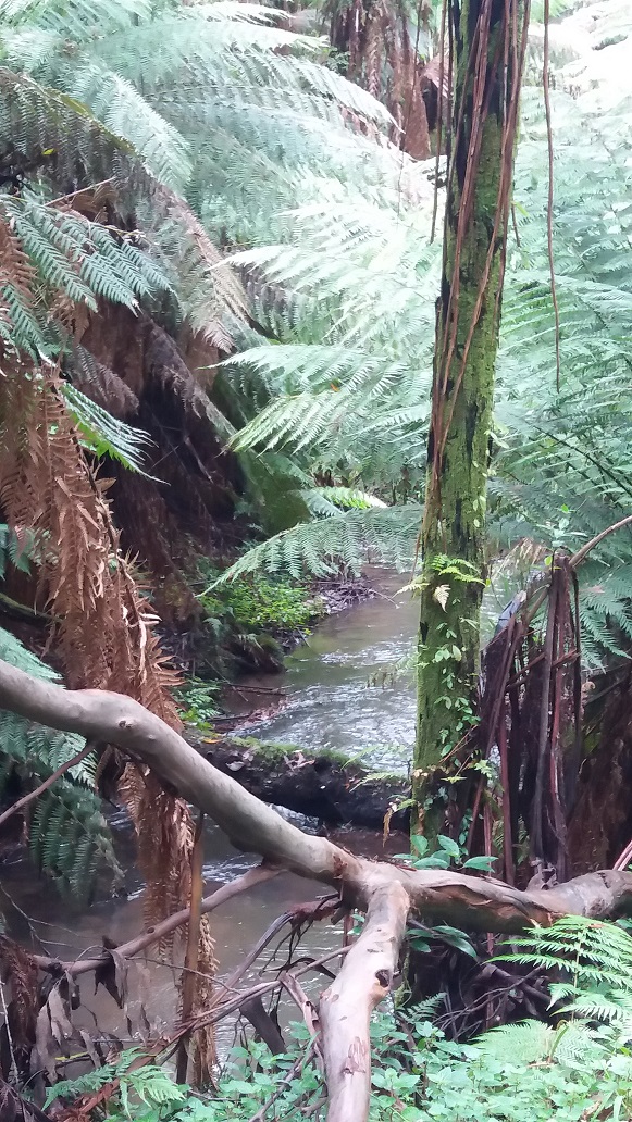
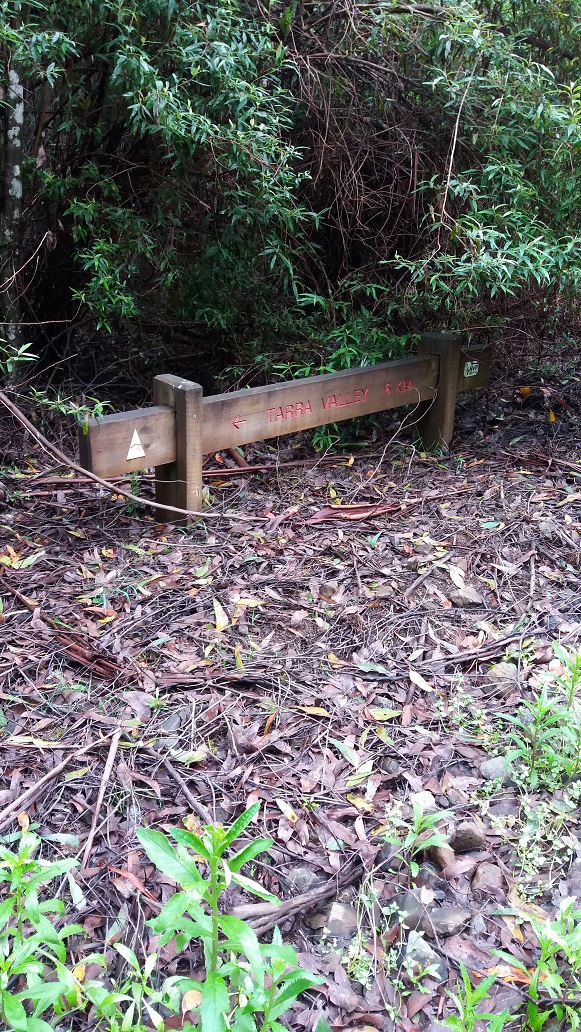
11.21am – I headed down Tarra Valley Road, and although the plan had changed, I felt rewarded with hearing the Tarra River flowing nearby on my left, and with sounds of cascades and glimpses of the river further down before reaching the Tarra Valley Picnic Area, where I would have a quick lunch around 12:00pm. There were a couple of tourists about that I had a quick chat to about the national park and the Grand Strzelecki Track. They will be back ….
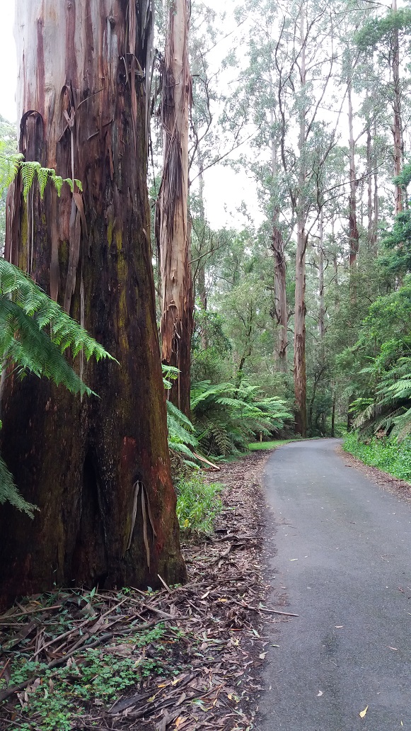

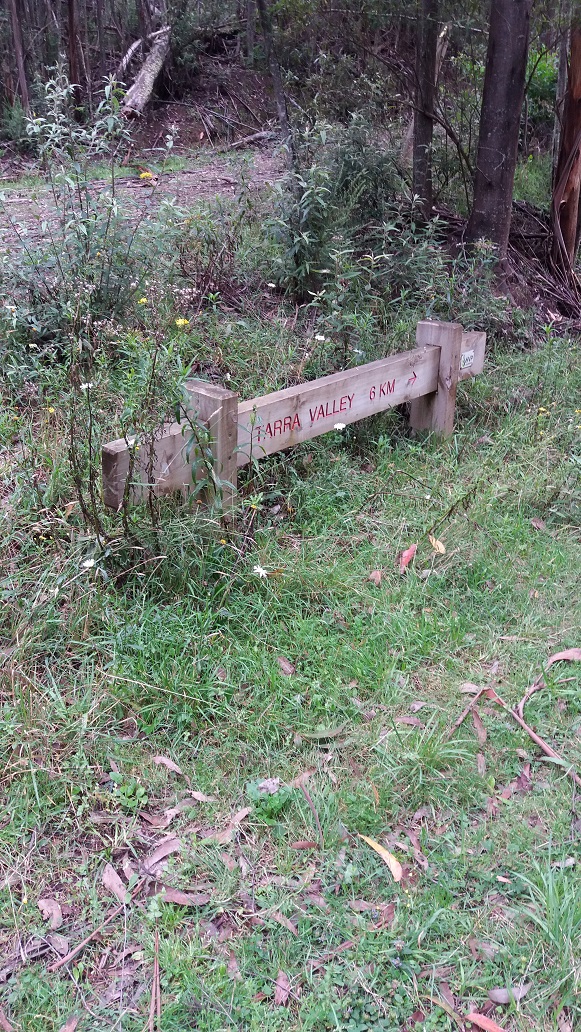
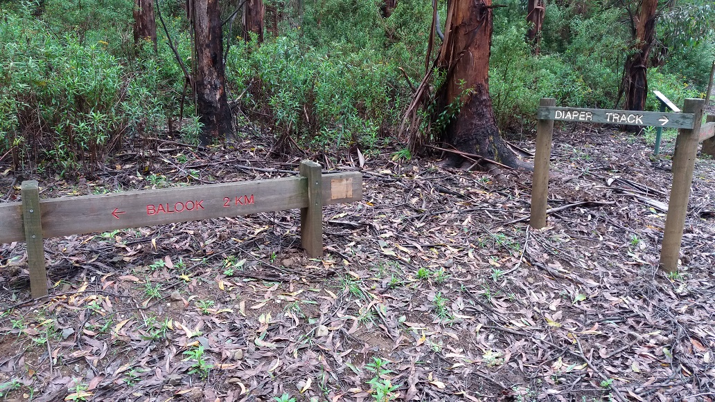
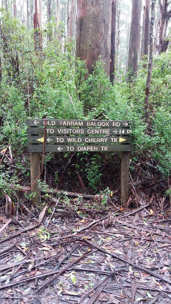
Now it was time to head a little further down Tarra Valley Road to the start of the Diaper Track that would lead me back home in around 2.5 hours (from past experience). It is nice to walk the Tarra Valley Road as the river meanders from left to right of the road with cascading water and short river glimpses. I drive this road often, and these are the rewarding things that my senses miss along the way.

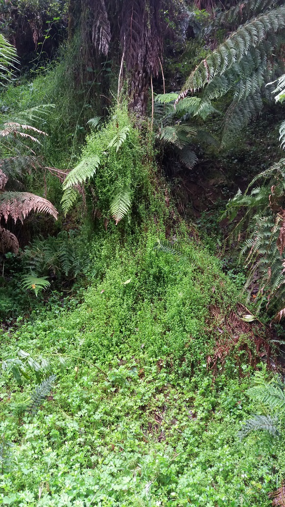
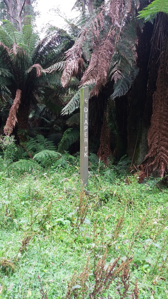
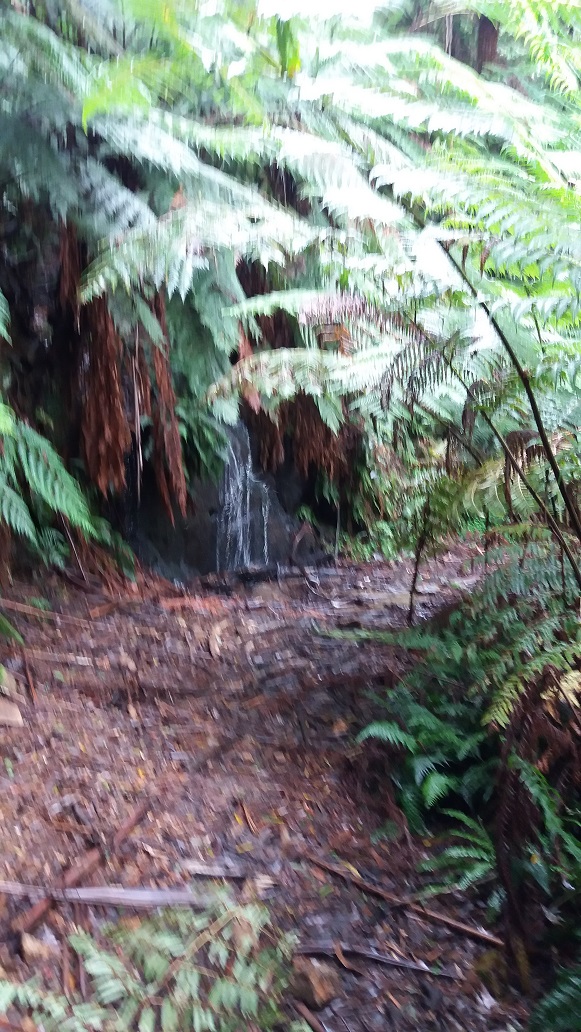
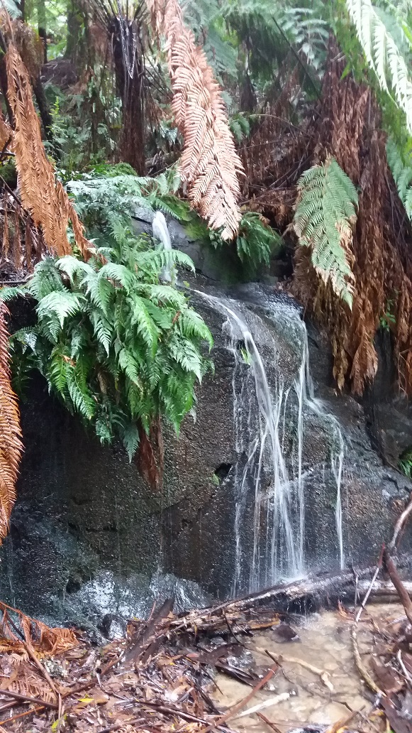
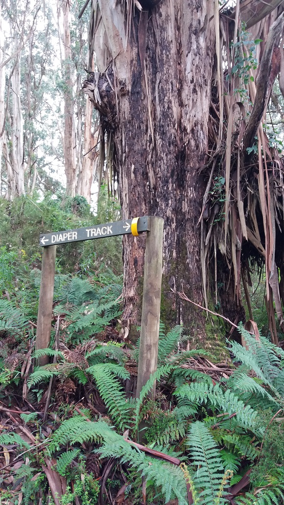
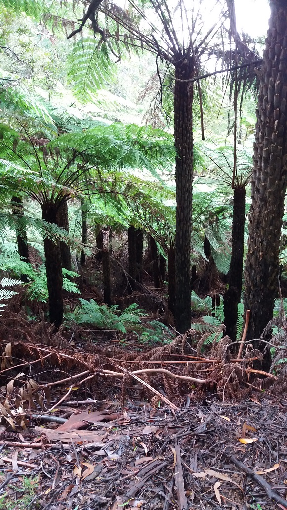
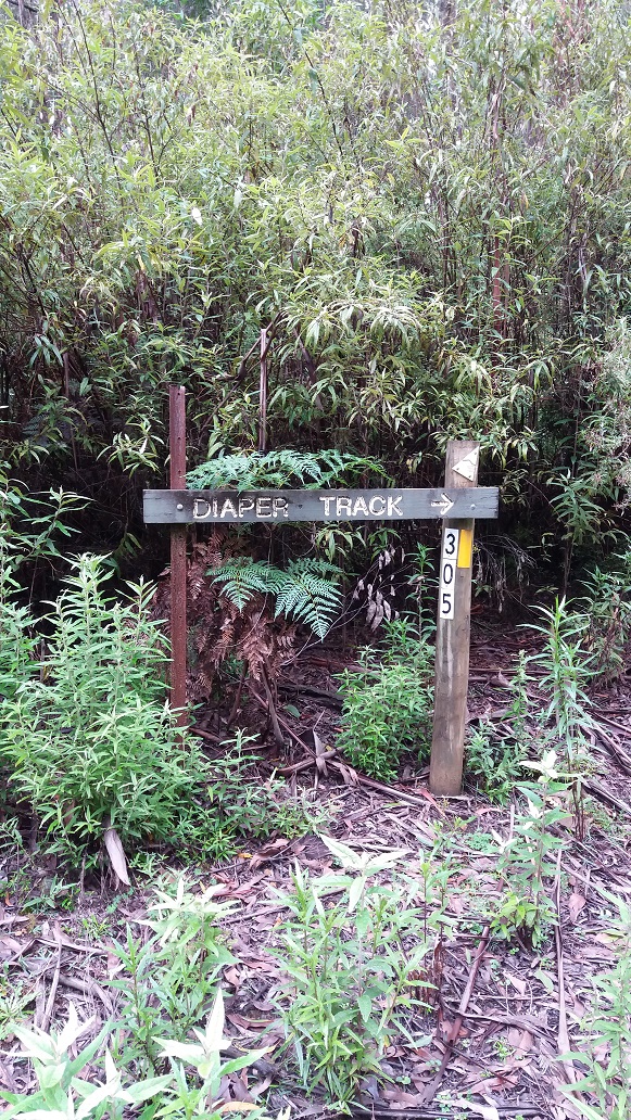
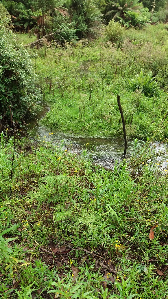
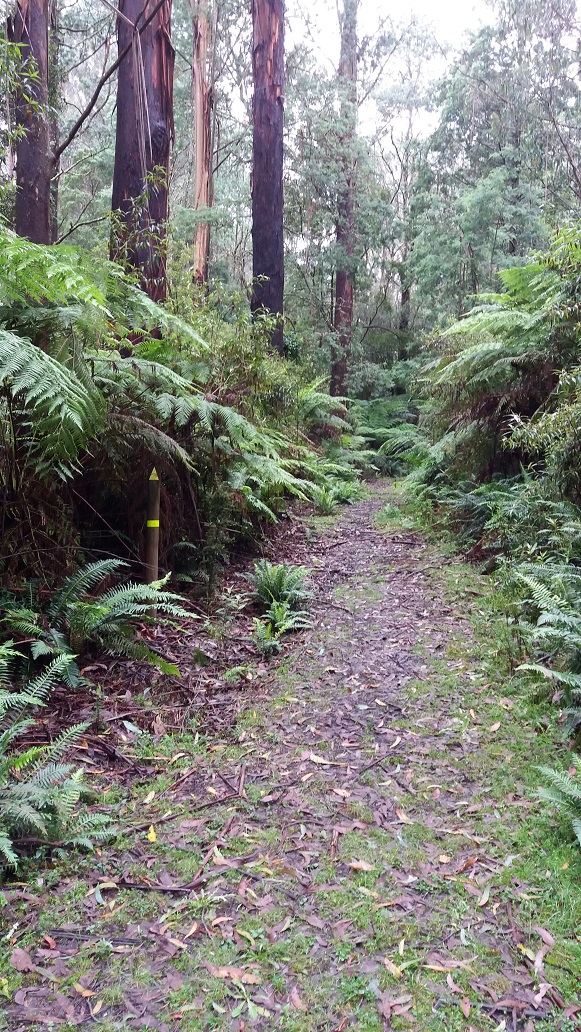
12:30pm – I met the start of the Diaper Track. This is where I resprayed my boots, clothing and cap with the Bushman’s spray as an extra precaution. The Diaper Track quickly climbs up away from Tarra Valley Road and river, and although a little overgrown, it became muddy underfoot in a few places. There were a lot of dead fern fronds across the track, remnant from the fronds of last spring. It wasn’t long before I could hear Tarra Falls to the right, but there were no glimpses. There were some fallen branches, water cascades and river sounds in the background, toadstools, vistas of Tarra Valley and harvested plantations to the right. I did notice the humidity suddenly rise around 1:00pm into the walk and I was wiping off the sweat.
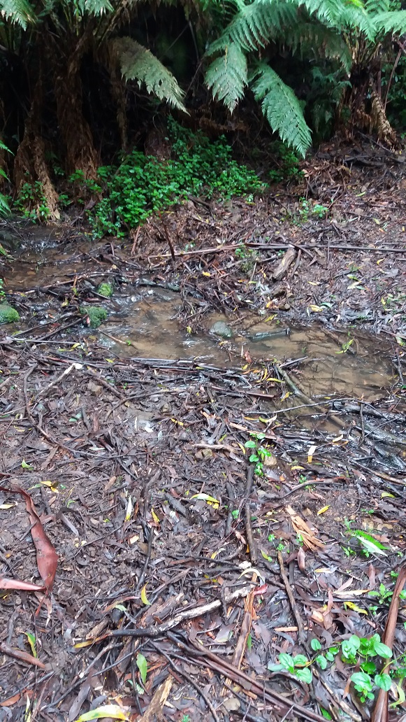
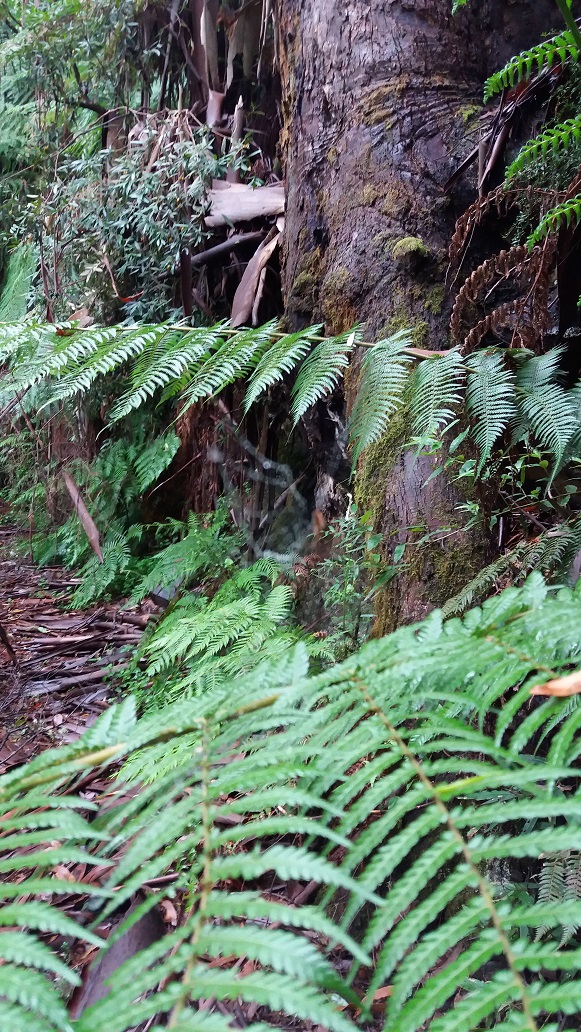
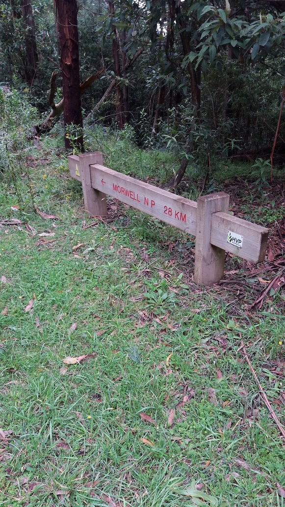
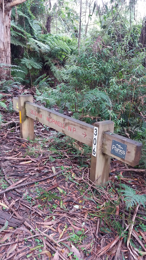
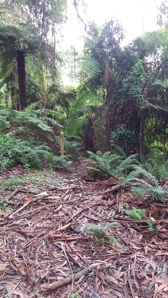
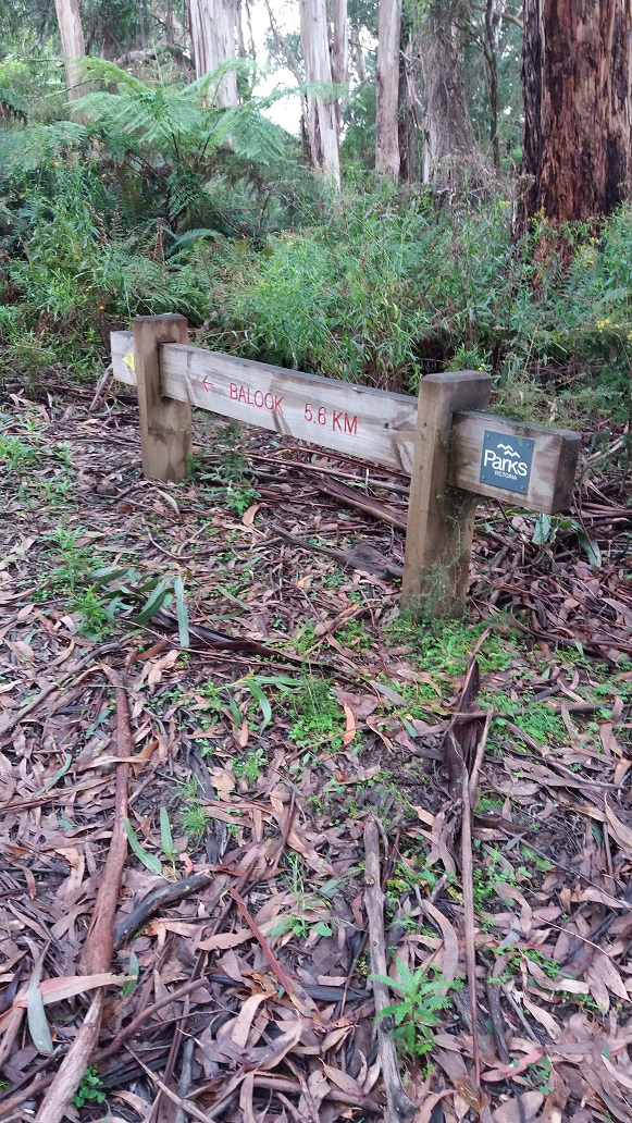
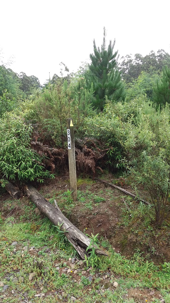
1:10pm – I met the junction of Morwell NP (park-to-park hike) and Balook with 5.6km to go. My phone chimed with a missed call from an hour ago as the signal returned. Moving on, the climb became steeper, and with a fallen branch across the track, but it was passable. There were plenty of ferns and spiders with webs about now. I finally reached the end of the Diaper Track (Marker 304). The track was not as wet or muddy underfoot as I expected and the road base was generally good, although it was wetter near waterfalls or deep shaded areas. Only one leech, which I spotted before it got past my boot. The Bushman’s spray seems to work.
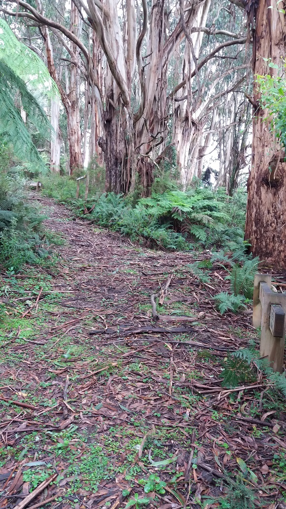
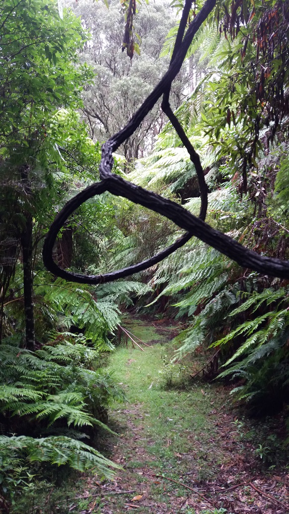
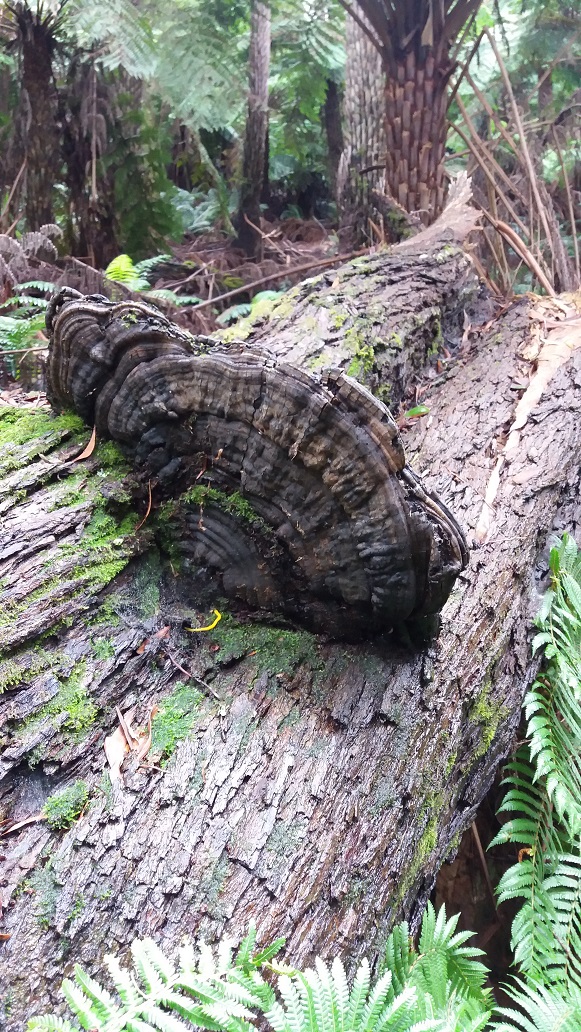
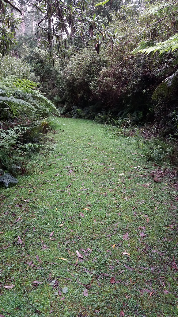
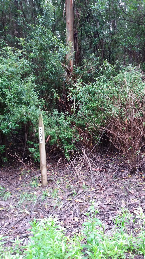
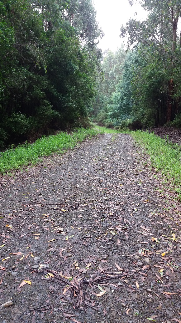
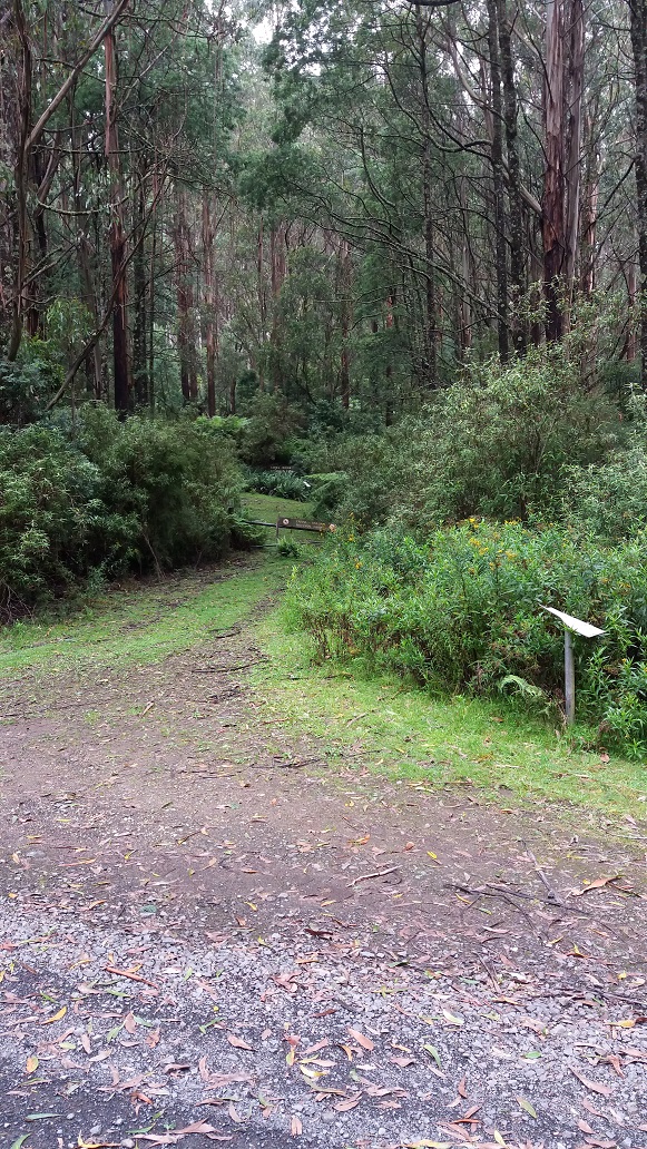
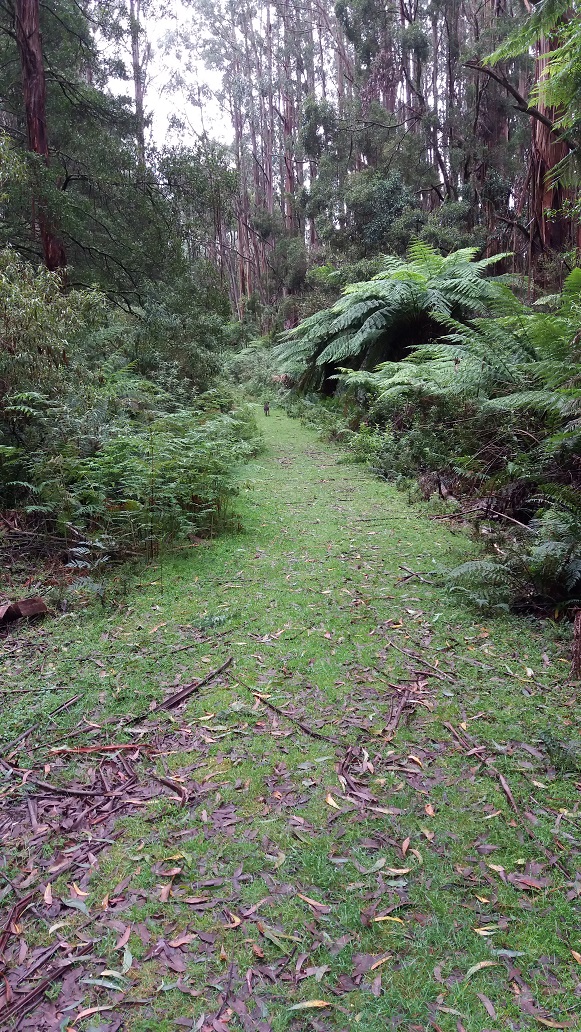
2:00pm – I met a plantation track at the end of the Diaper Track, and although it was not clearly marked which way back to Balook, one would think about the signage. This lead to turning left. Within minutes I could see lots of ferns, Epiphytes growing on the Blackwood Trees and hearing cascading water, sounds of frogs and water on both sides of the track. The track started to climb and the loose small rocks underfoot were harder to walk on. The track went through pine and hardwood plantation coups before meeting Old Yarram Road that leads to Bulga Park Road, and ultimately Balook in 2.0kms. (Marker 303).
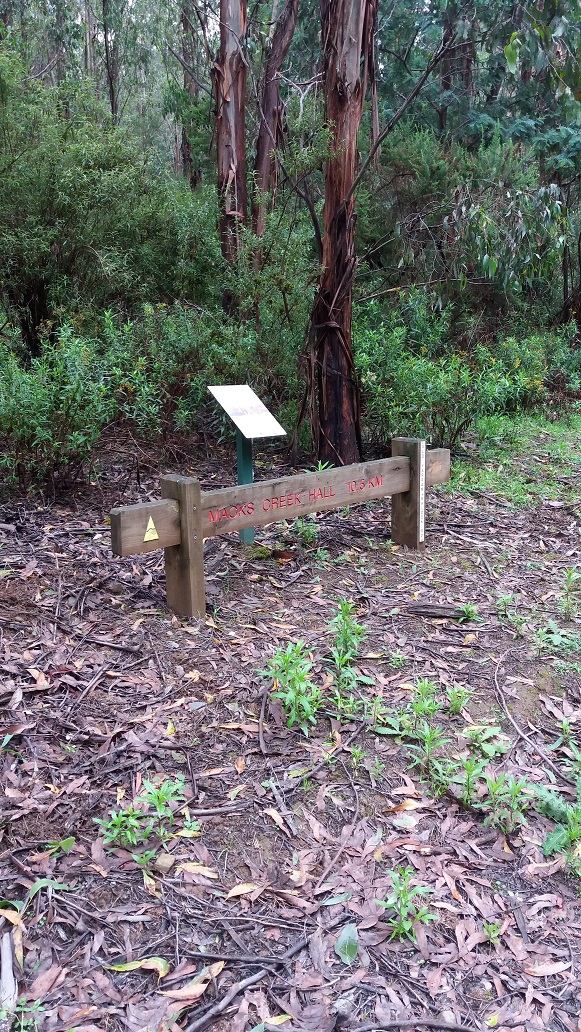
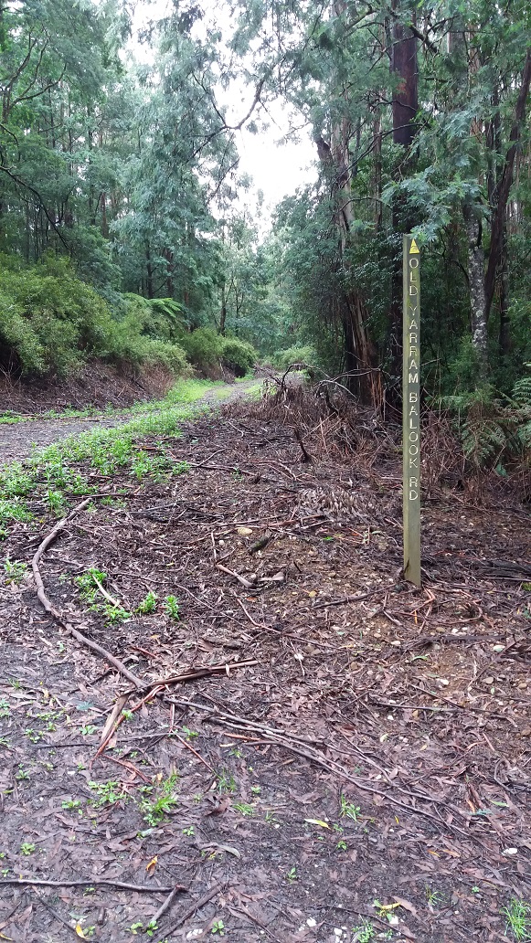
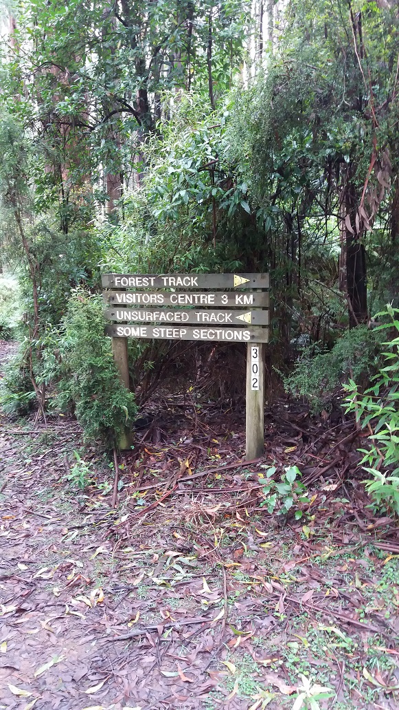
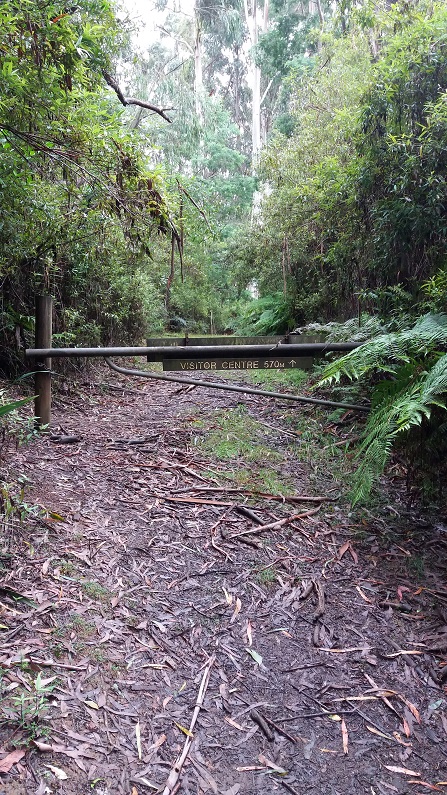
2.25pm – I crossed Bulga Park Road to continue on Old Yarram Road to enter the Tarra Bulga National Park again. Locally, this is known as five-ways. As I entered the national park, the sign to the right said Macks Creek via Wild Cherry Track (Marker 515), which is in the opposite direction to home. I took the left track, which quickly climbed and a plateau to where there was a sign to the Forest Track (Marker 302). Following this track would take 1.25 hours back the visitors centre and carpark (3km), which was optional for me. I continued up another climb until I met a vehicle access gate around 2:47pm and quickly descending home within a few hundred metres.
That was my hike. Spotted a wallaby along this last section. In essence, hiking in an anti-clockwise direction meant that the hike up the Diaper Track had a lesser gradient but longer distance than Tarra Valley Road or Duncan’s Track (via The Great Forest Walk and Butler’s Track) which would have been a very steep climb but shorter distance. Tarra Valley Road, although not planned this time, did bring some rewards of the senses and sounds not heard before when driving the road many times. I found hiking Tarra Valley Road and the plantation track hard on the feet, leaving some soreness, but I was glad it happened towards the end rather than at the start. All in all, a fantastic walk. I look forward to sharing my next story soon. Don’t just take my word for it, come and experience our Track for yourself and your friends. Don’t forget the free and paid campsites. Check out the rest of the website for information and map purchases. Cheers, Richard (Secretary of Grand Strzelecki Track).